
Show me the location on the map
Similar articles
Who has experienced them, these clear, cold winter nights in the high mountains? Maybe even under a…
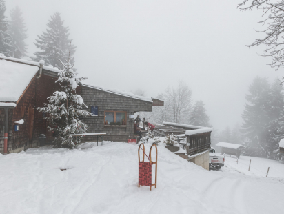
The toboggan run from the Rumer Alm is one of my absolute favorite toboggan runs. At just…
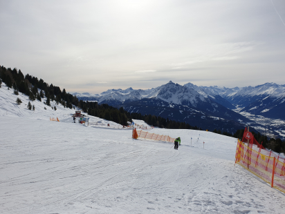
When I came to Austria at the age of 16, winter sports were still pretty exotic for…
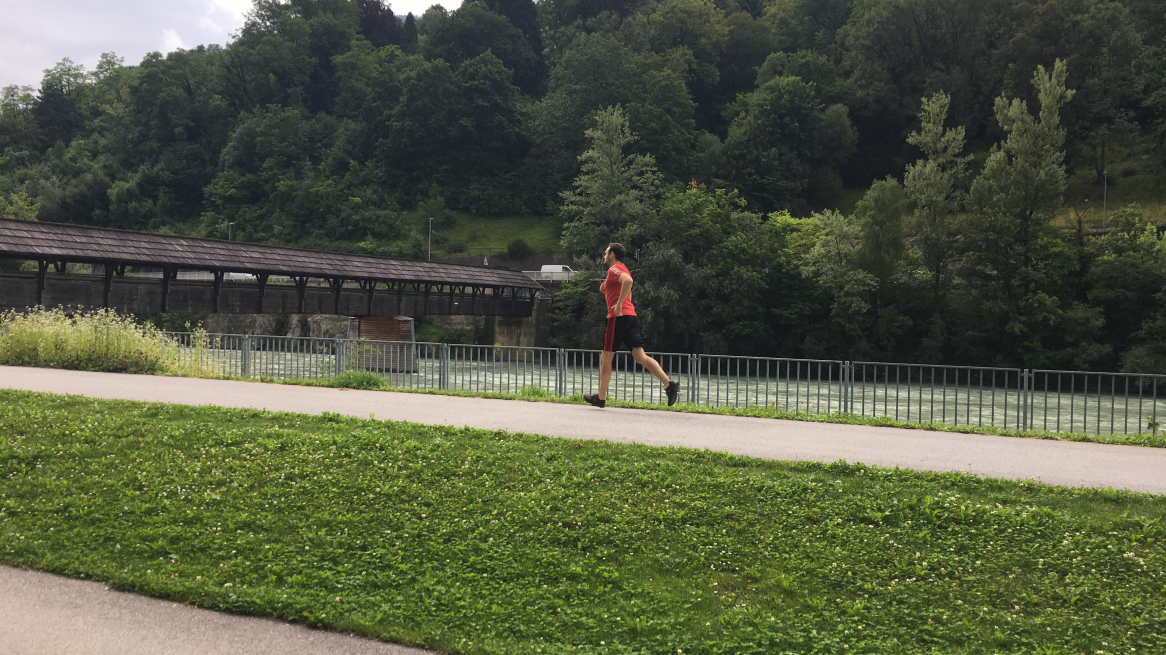
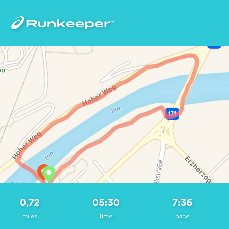
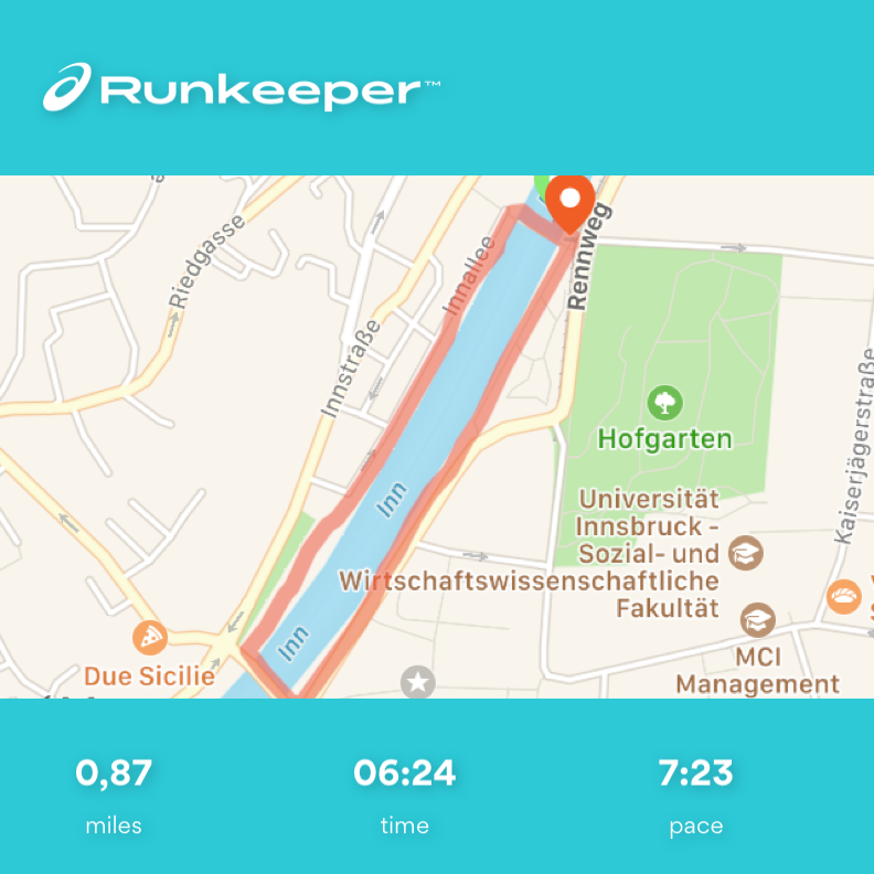
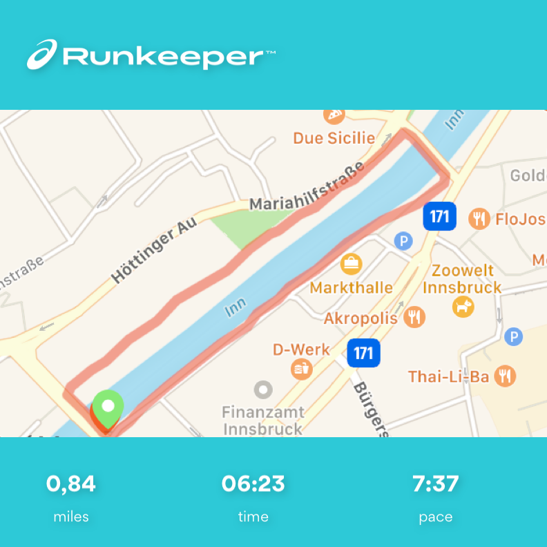
Snow-covered forests, exercise in the fresh air, enjoying the winter... I am regularly drawn to go outside,…