04 September 2021
Post originally written in: Deutsch Information An automatic machine translation. Super fast and almost perfect.

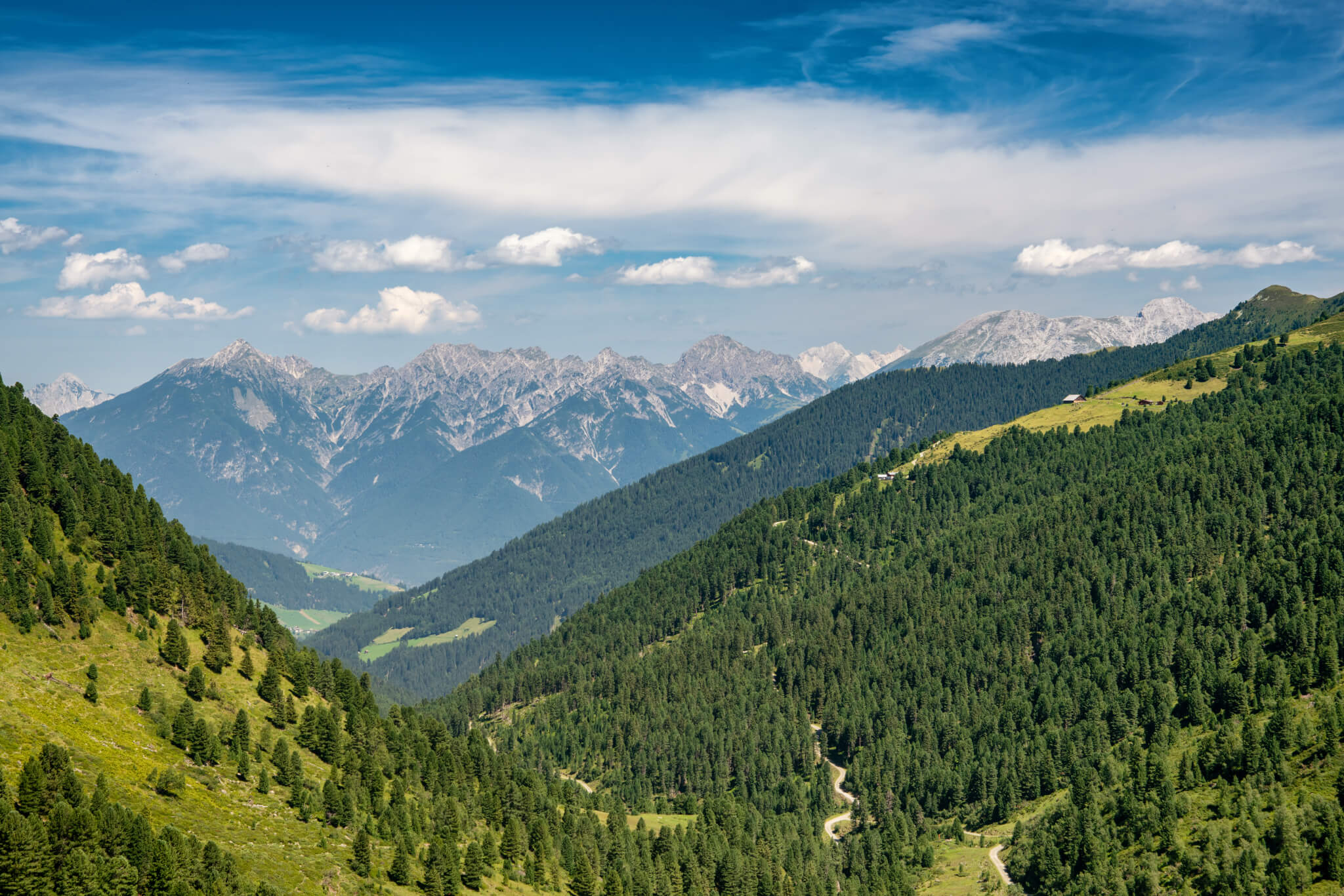
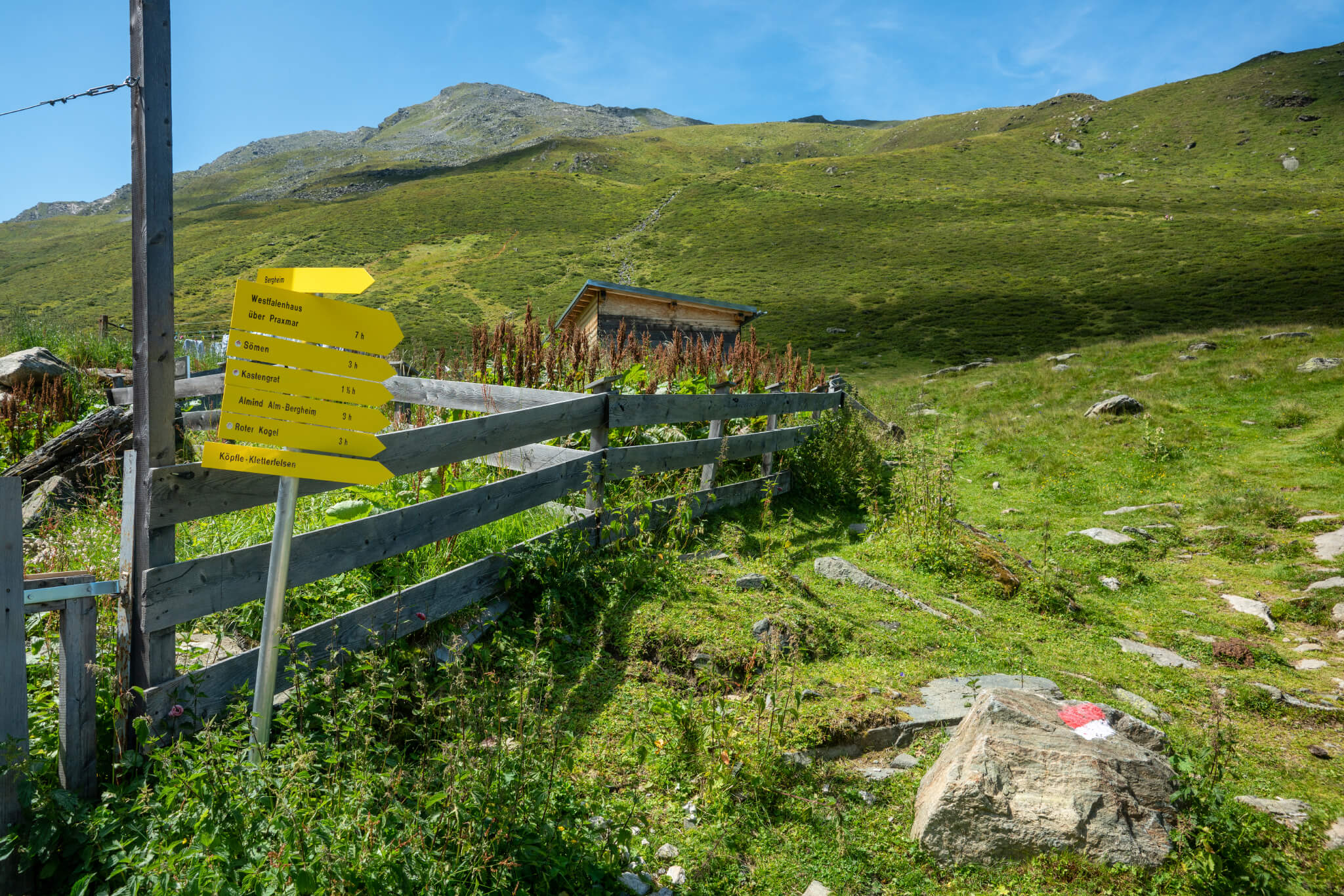
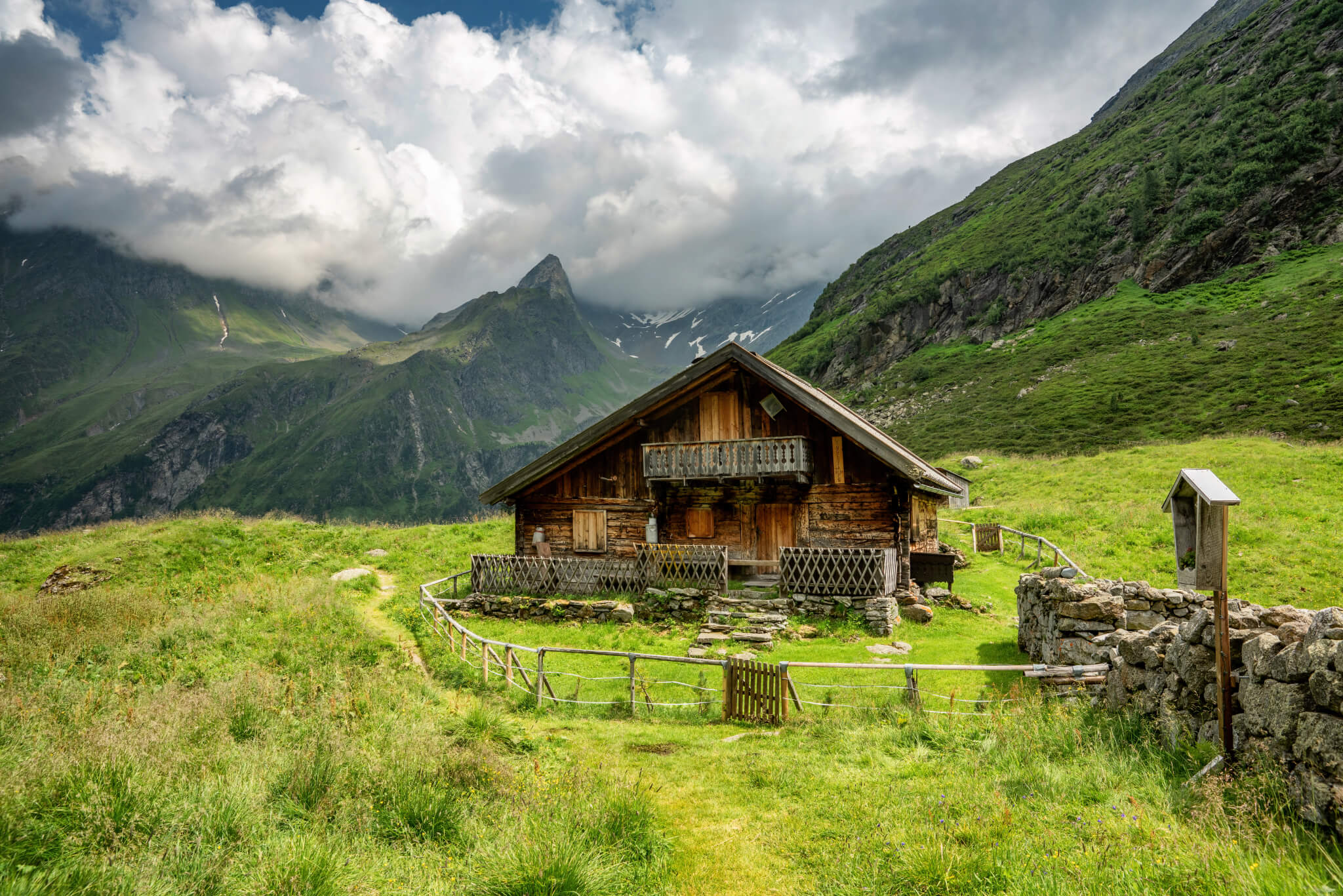
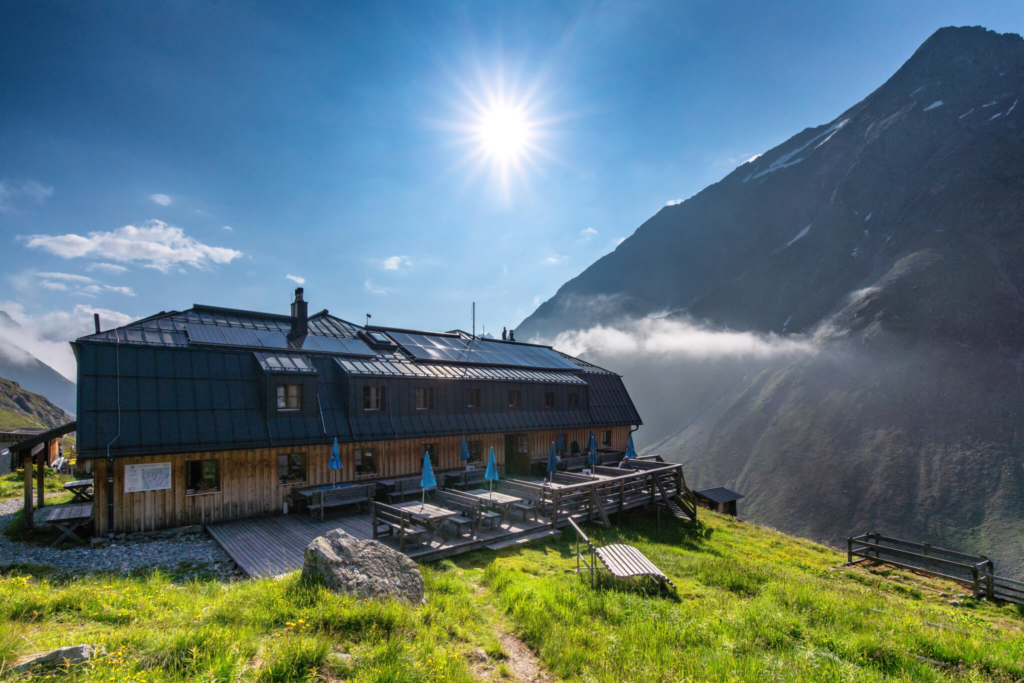
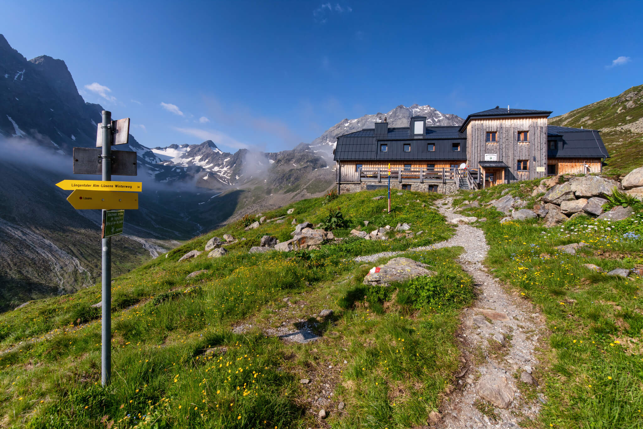
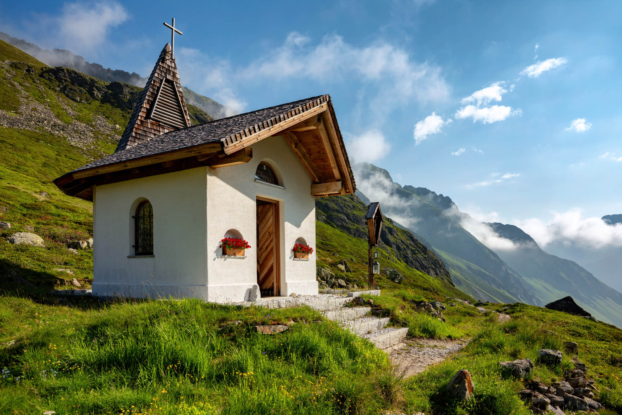
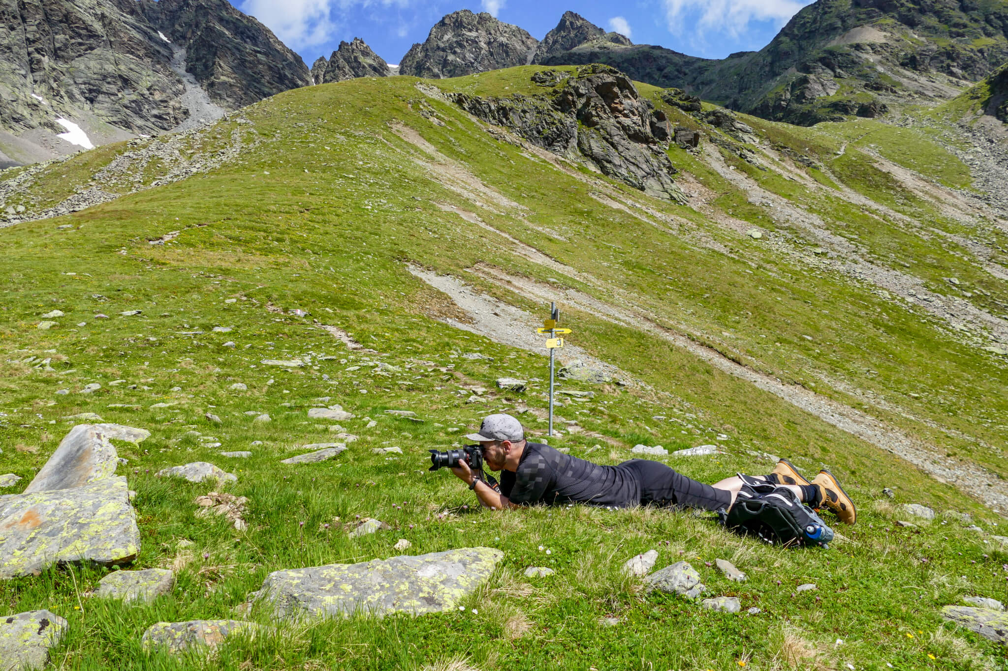
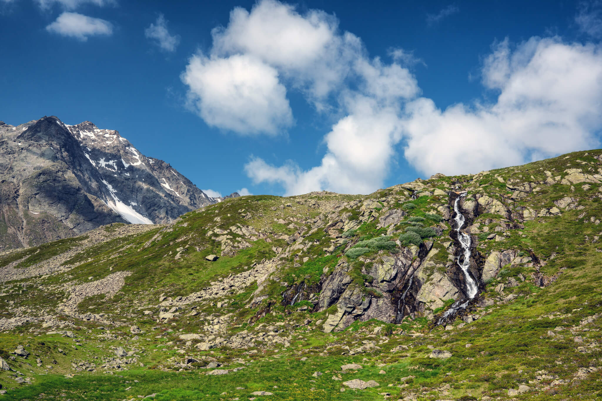
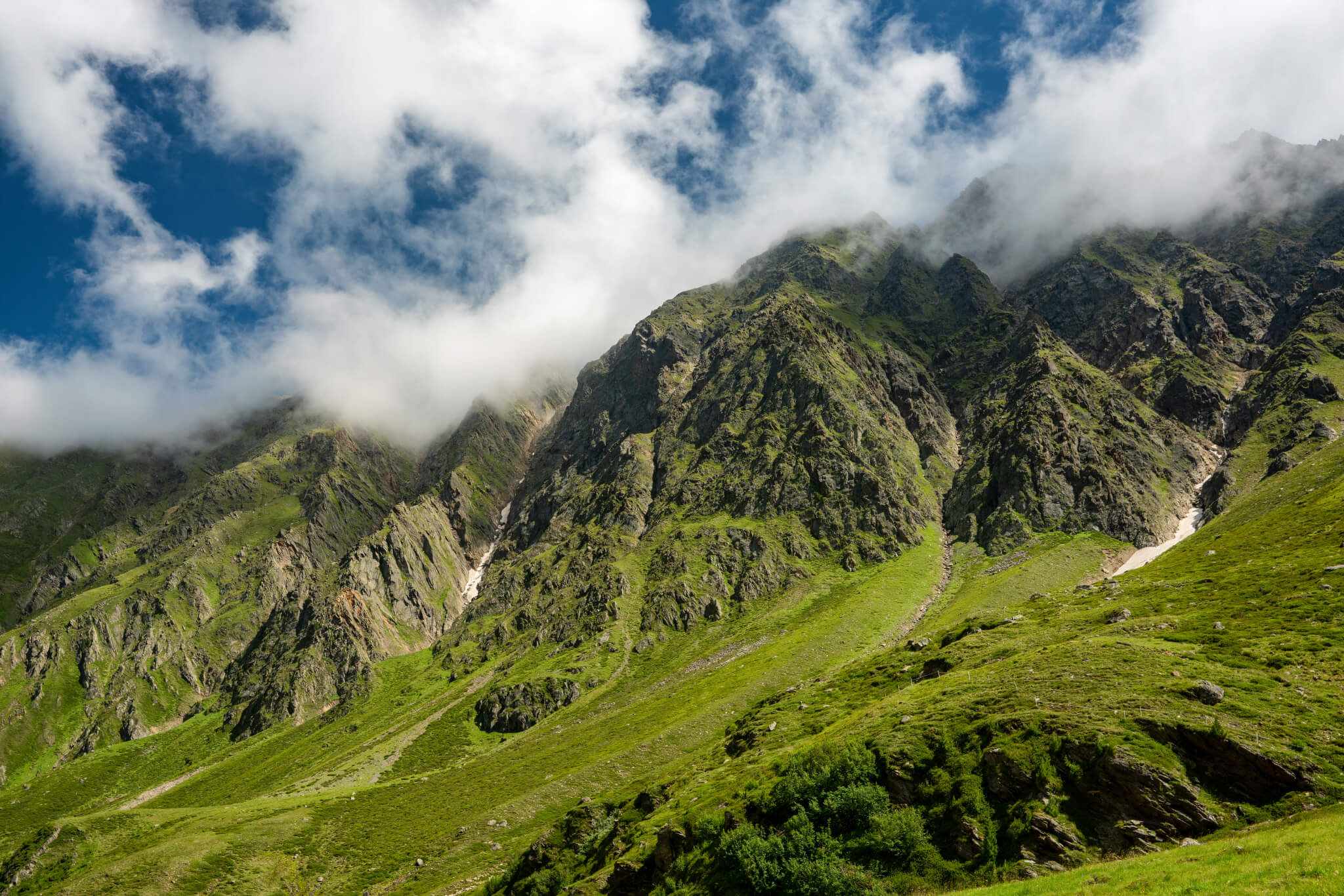
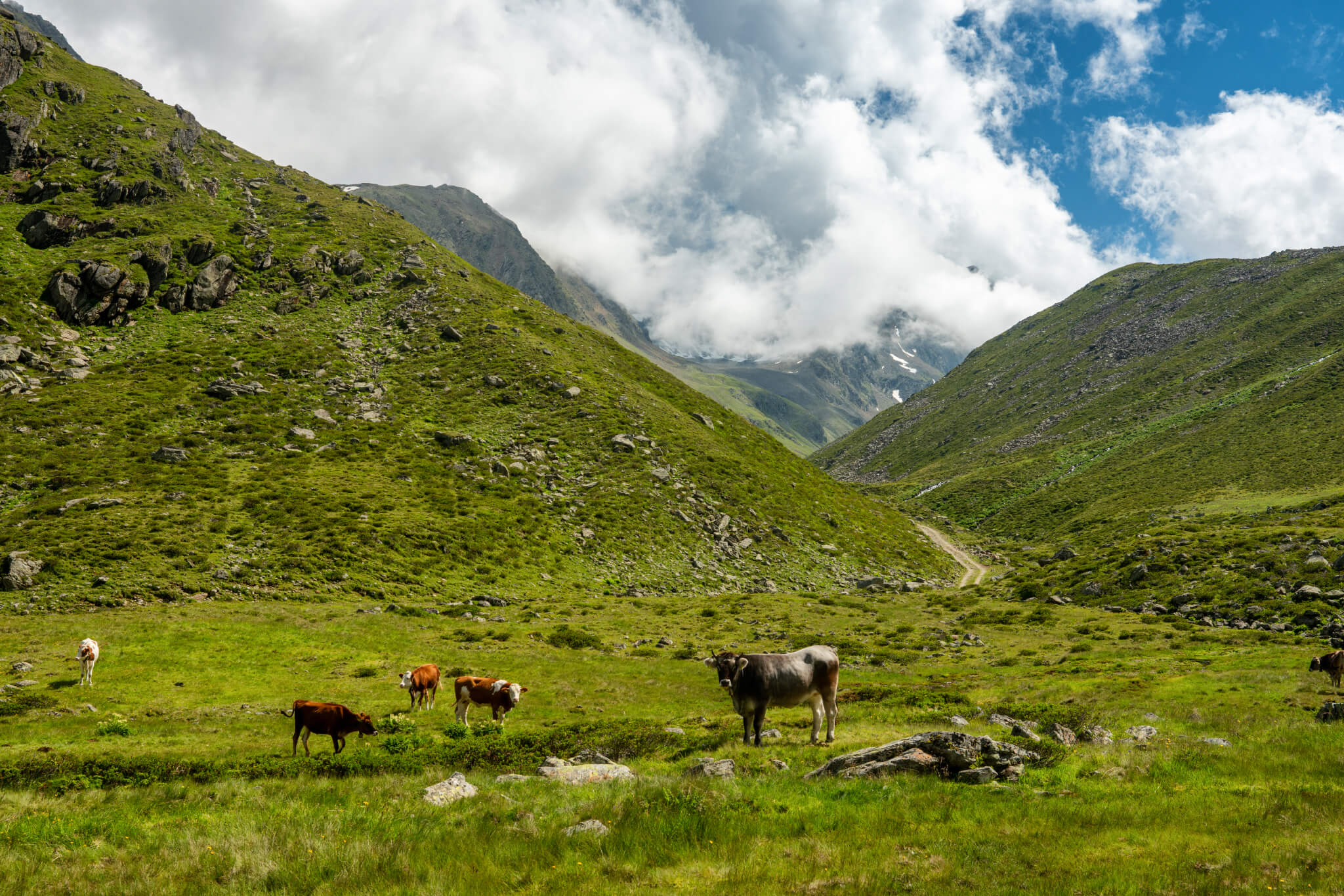
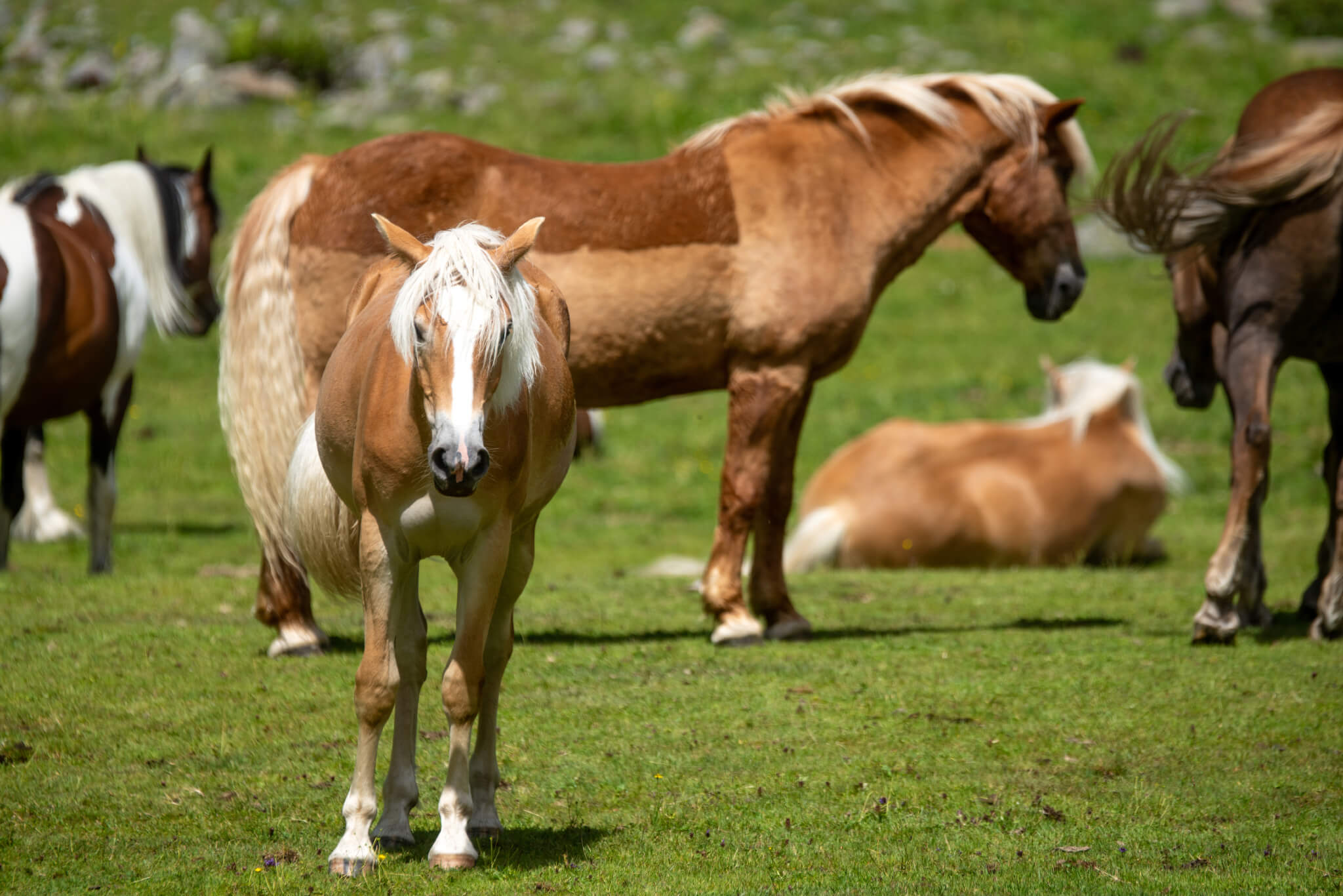
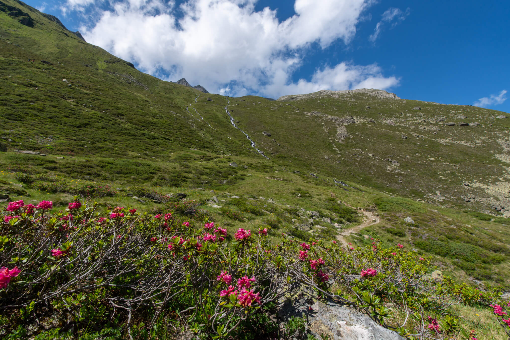
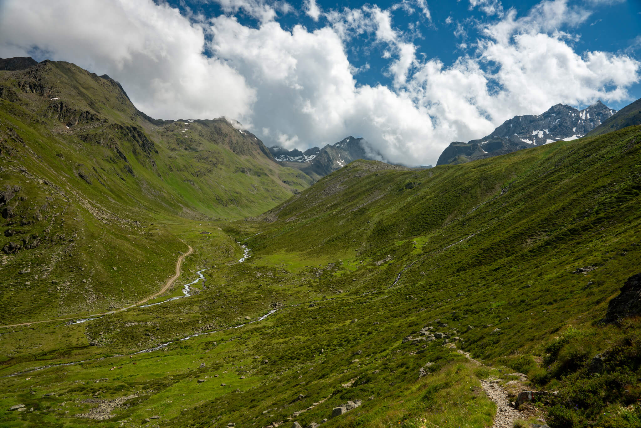
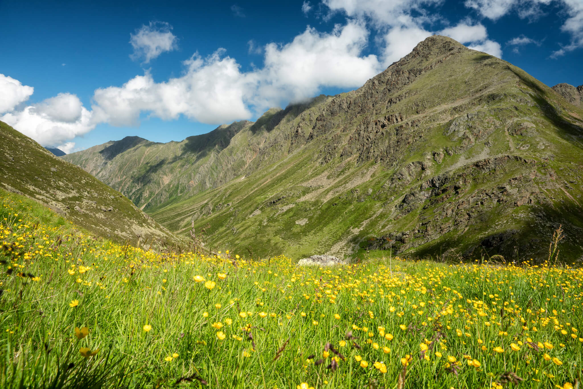
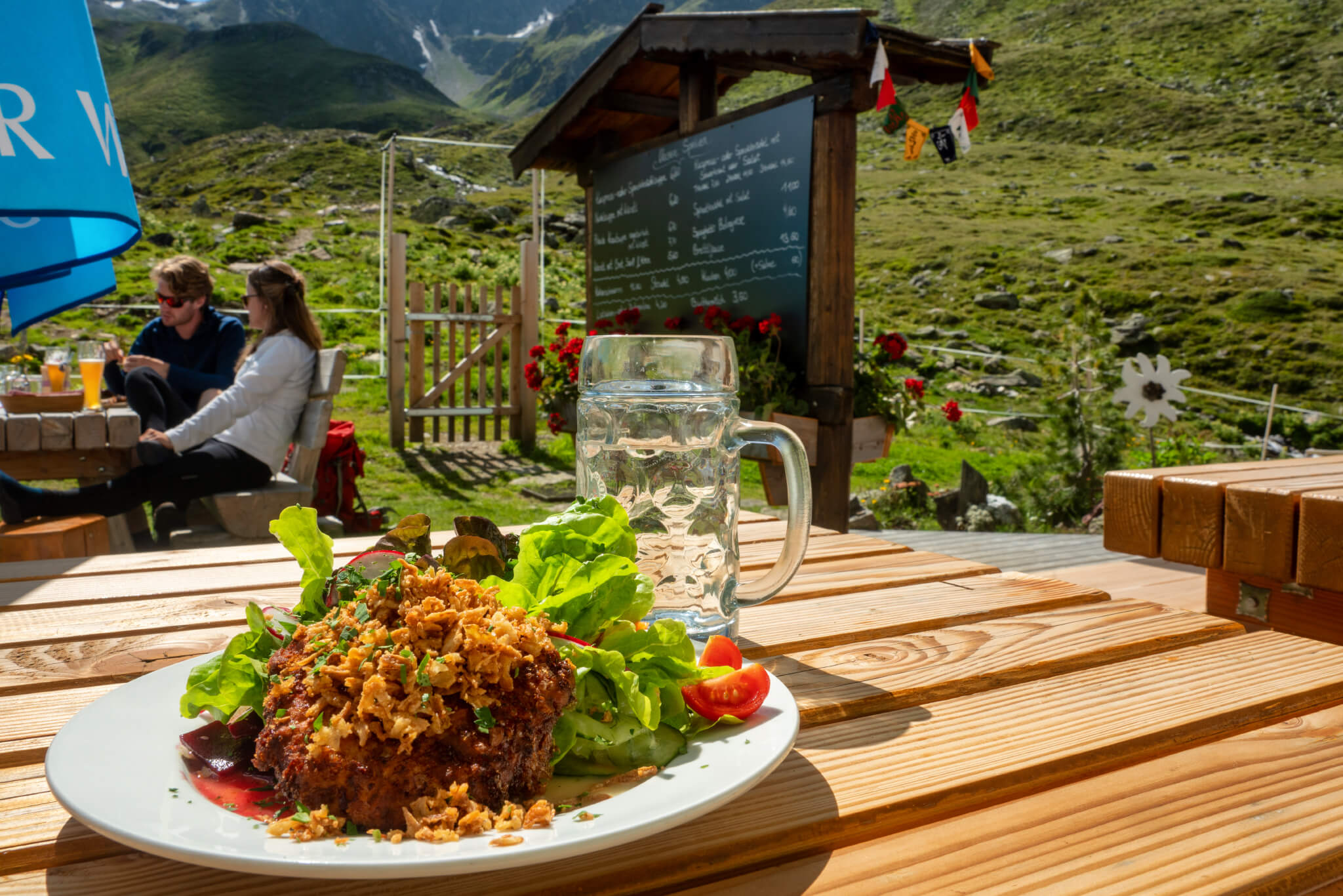
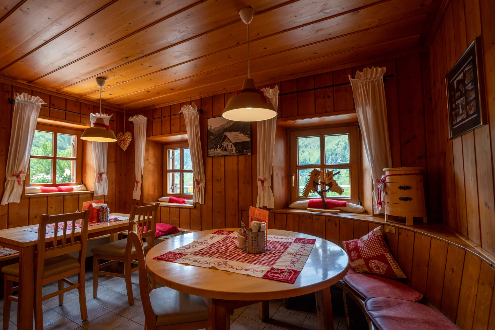
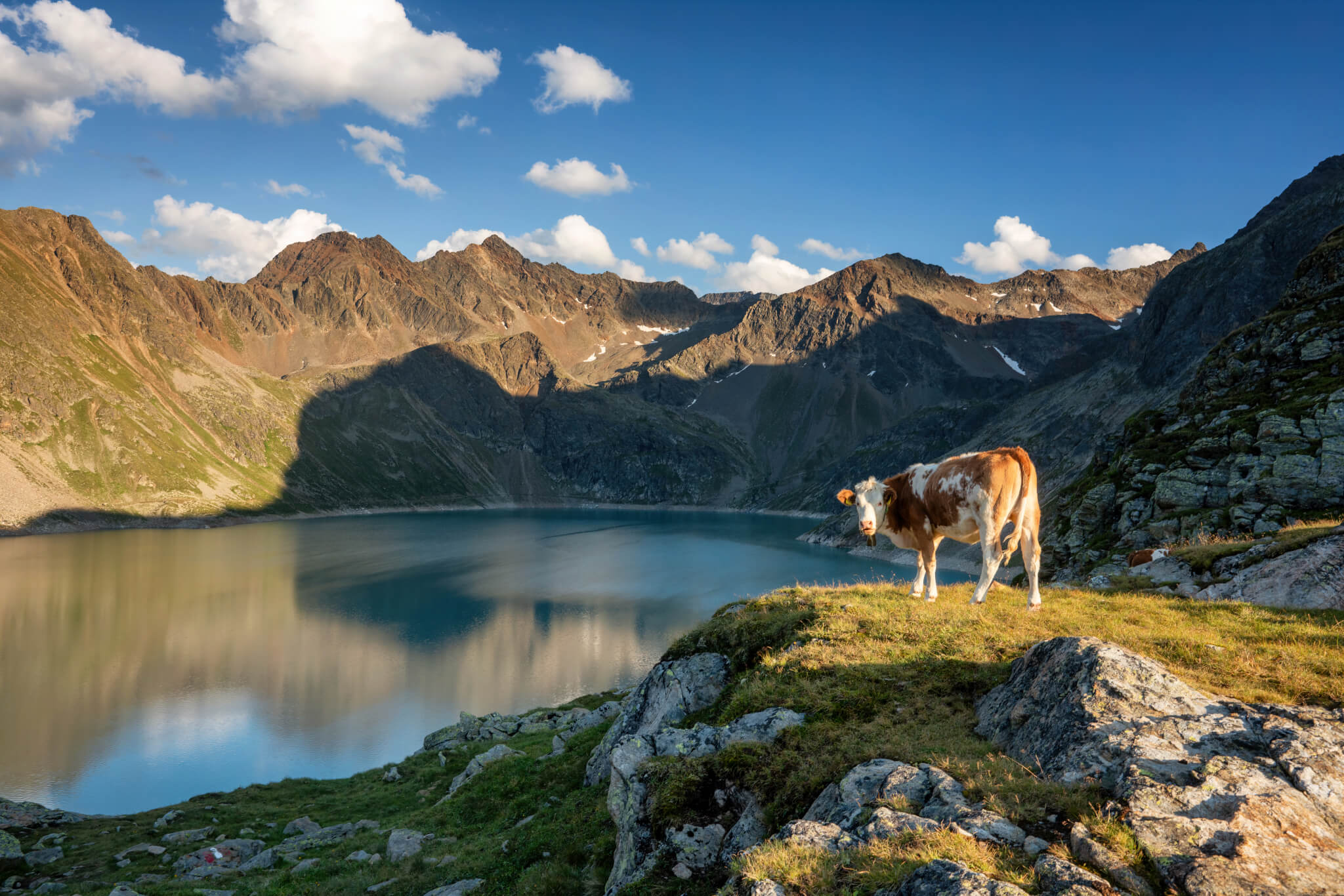
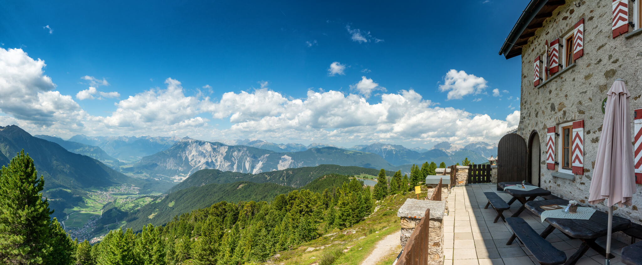
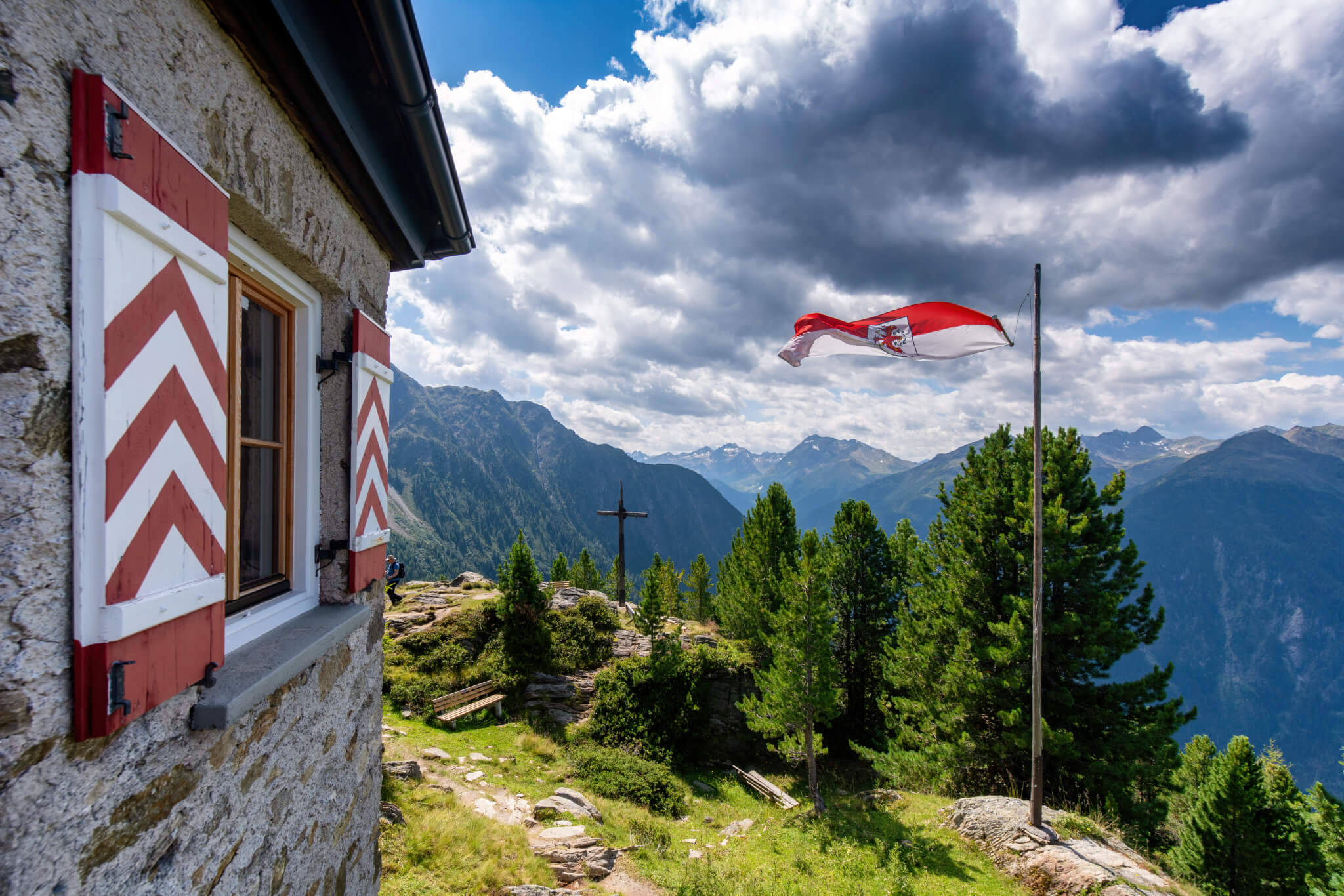
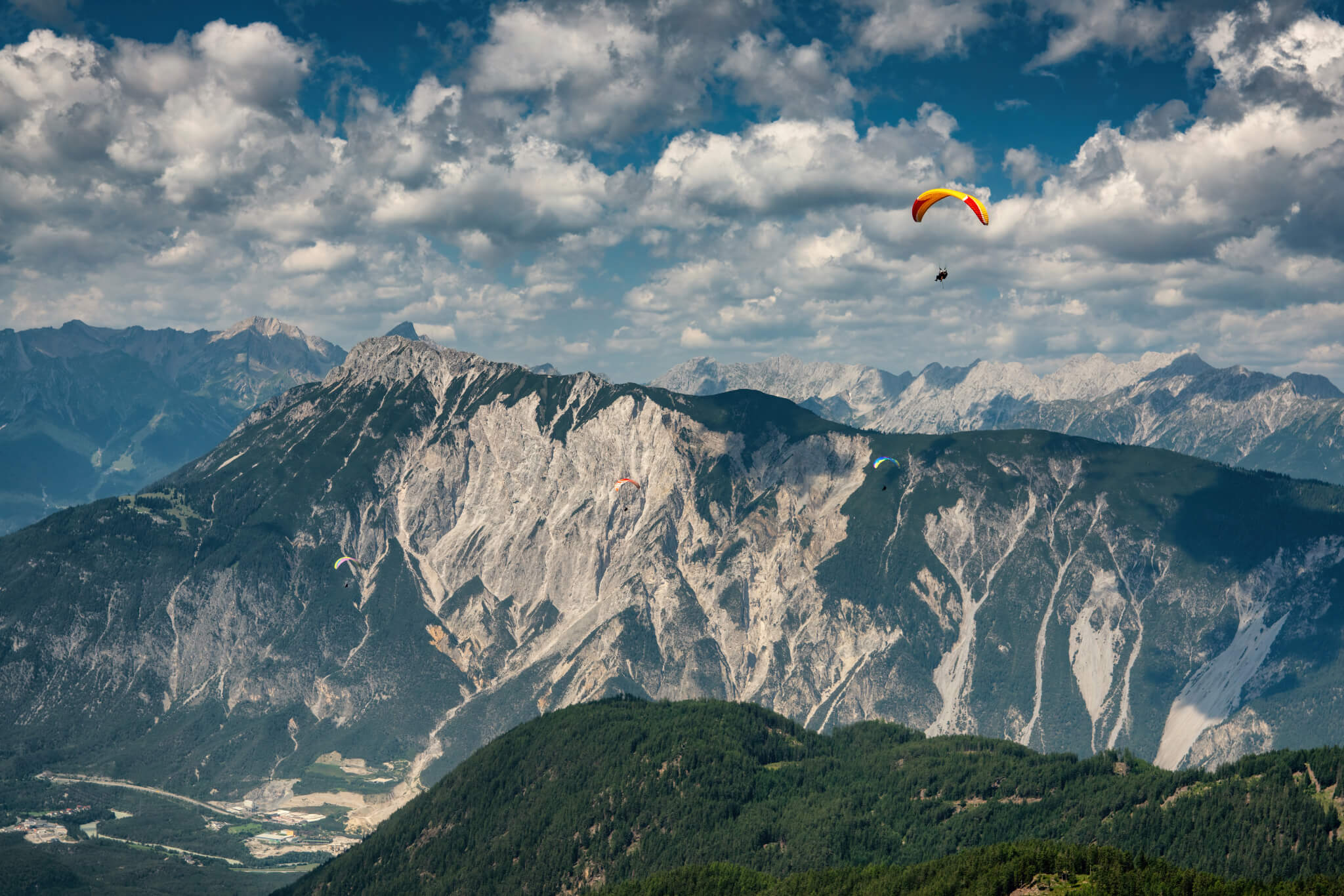
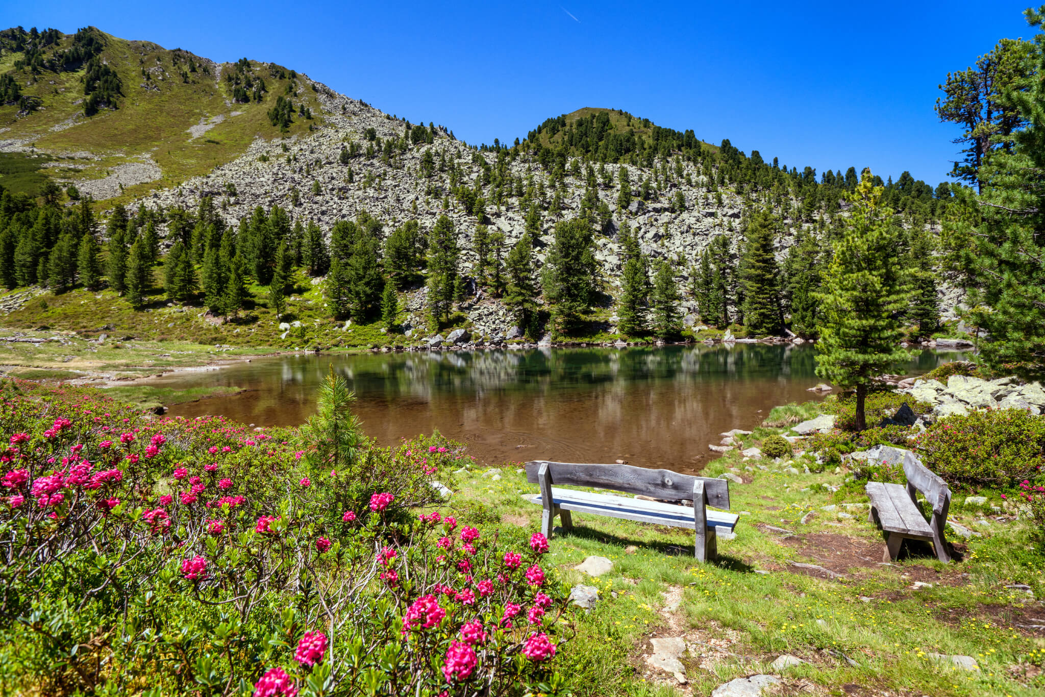
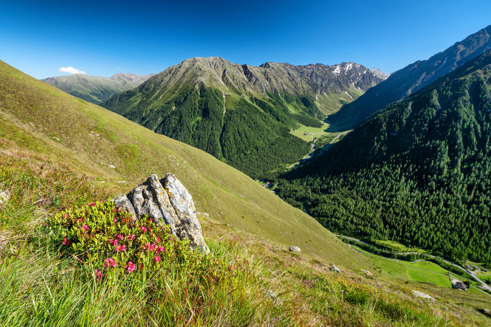
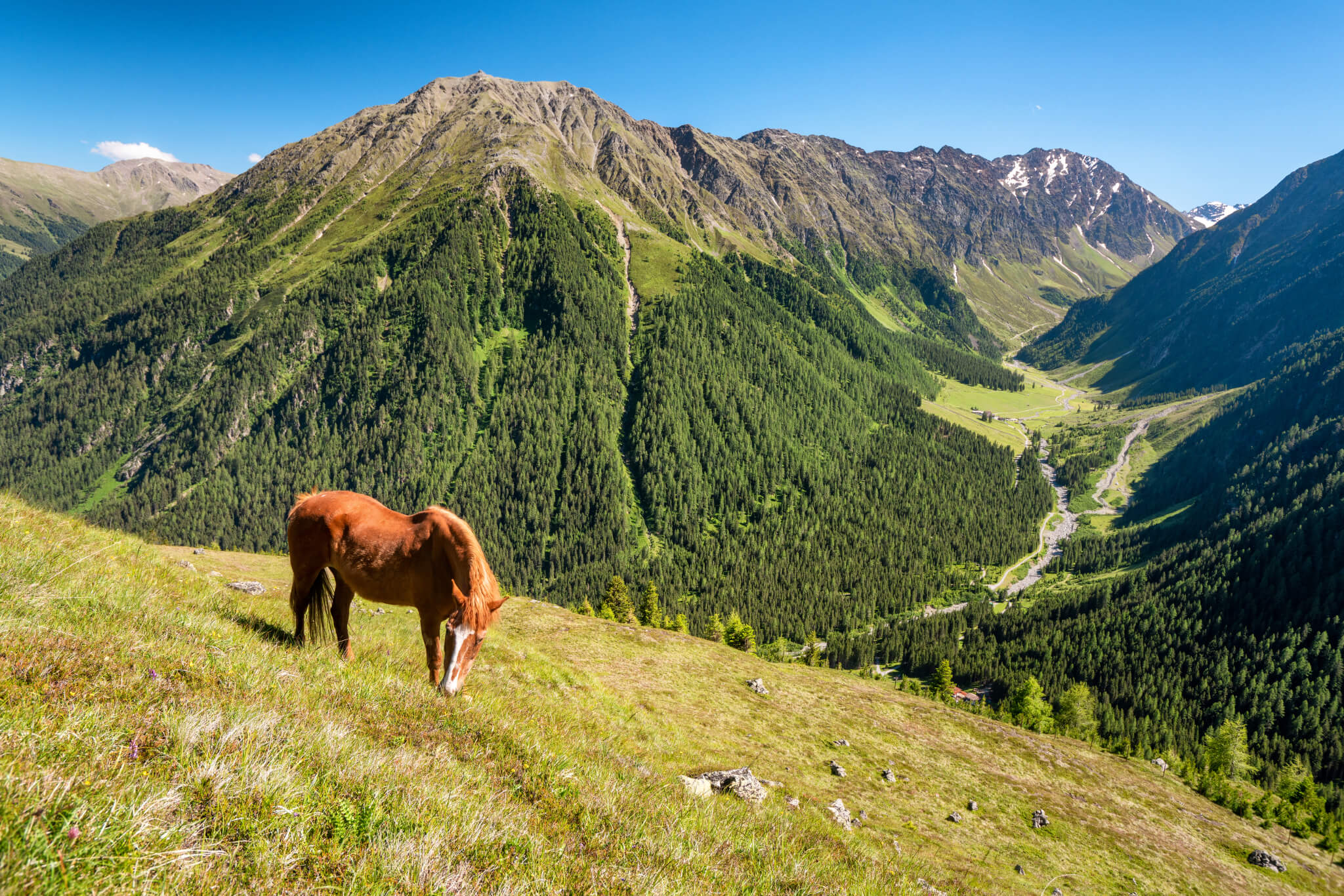
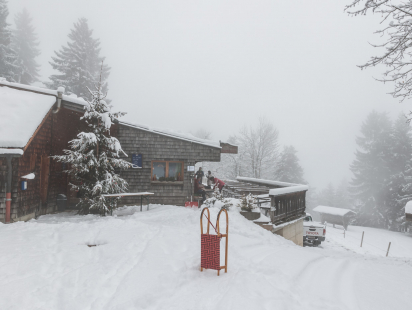
The Sellrainer Hüttenrunde is probably the most beautiful long-distance hike I have been allowed to do so far. Starting in the beautiful Sellrain, the Sellrainer Hüttenrunde leads over eight stages and huts in the Stubai Alps back to Sellrain. The quiet, high alpine side valleys of the Sellrain valley make this tour indescribably beautiful. You escape from everyday life and can switch off, far away from cities, noise and stress. I also liked the fact that you can arrange the hut tour individually and, depending on your strength and if you wish, finish it at any time. In addition, you can complete some stages on different paths. I was impressed by the quality, friendliness and cuisine of all the huts I visited. The location of each one also speaks for itself. More about this in the stage descriptions.

It is very important to check the availability of sleeping places in the huts before you start your tour and to make a reservation right away.

EQUIPMENT FOR LONG-DISTANCE HIKING

If you are going on a long-distance hike, it is essential to think about your equipment and luggage beforehand. Marches of up to nine hours at some stages naturally require thought about the necessary luggage and superfluous items. Every kilo counts, so think carefully about what you pack!

I have put together a checklist for you here:

  • Mountain boots that go over the ankle and offer a secure hold and are waterproof
  • Breathable T-shirt
  • Breathable jacket and sweater
  • Rain jacket
  • Hiking socks with reinforced areas (to prevent blisters)
  • Hat (in the high mountains it can get very cold very quickly, even in high summer!)
  • Spare clothes to change
  • First aid kit (there are small and light ones for mountain tours)
  • Sun protection
  • sufficient food for the respective day tour
  • Mobile phone with stored emergency numbers (more about this at the end)
  • Hiking sticks
  • Headlamp
  • Hut sleeping bag and hut shoes (an overnight stay is not possible without them)
  • Washing utensils
  • Camera or mobile phone for taking pictures

All this should fit into a 40 litre rucksack without any problems - so you are well equipped for the Sellrainer Hüttenrunde.

ARRIVAL

The starting point for the Sellrainer Hüttenrunde is the village Sellrain at the beginning of the Sellraintal. About 20 minutes drive from Innsbruck the adventure starts. I recommend to arrive by public transport. The Sellrain valley is very easy to reach from Innsbruck main station by bus every hour. Parking spaces in the village center, which you can pay for ten days, are available but limited. It is less stressful to travel by bus, and of course more environmentally conscious.

You can find the timetable of the VVT line 4166 to the Sellraintal here.

Whoever comes to Sellrain will find the sign "Bergsteigerdörfer" (mountaineering villages) everywhere. A special seal of quality that only a few places in Austria bear. The villages all stand for sustainable alpine tourism with a corresponding tradition You guarantee a high quality Tourism offer for Mountaineers and Excellent landscape and environmental quality and are committed to the preservation of local cultural and natural values the local cultural and natural values. Three places in the Sellrain Valley can claim this title: Sellrain, Gries and Sankt Sigmund.

STAGE 1: SELLRAIN - POTSDAMER HUT

Walking time: approx. 3,5h
Altitude difference: ↑ 1.101 ↓ 0

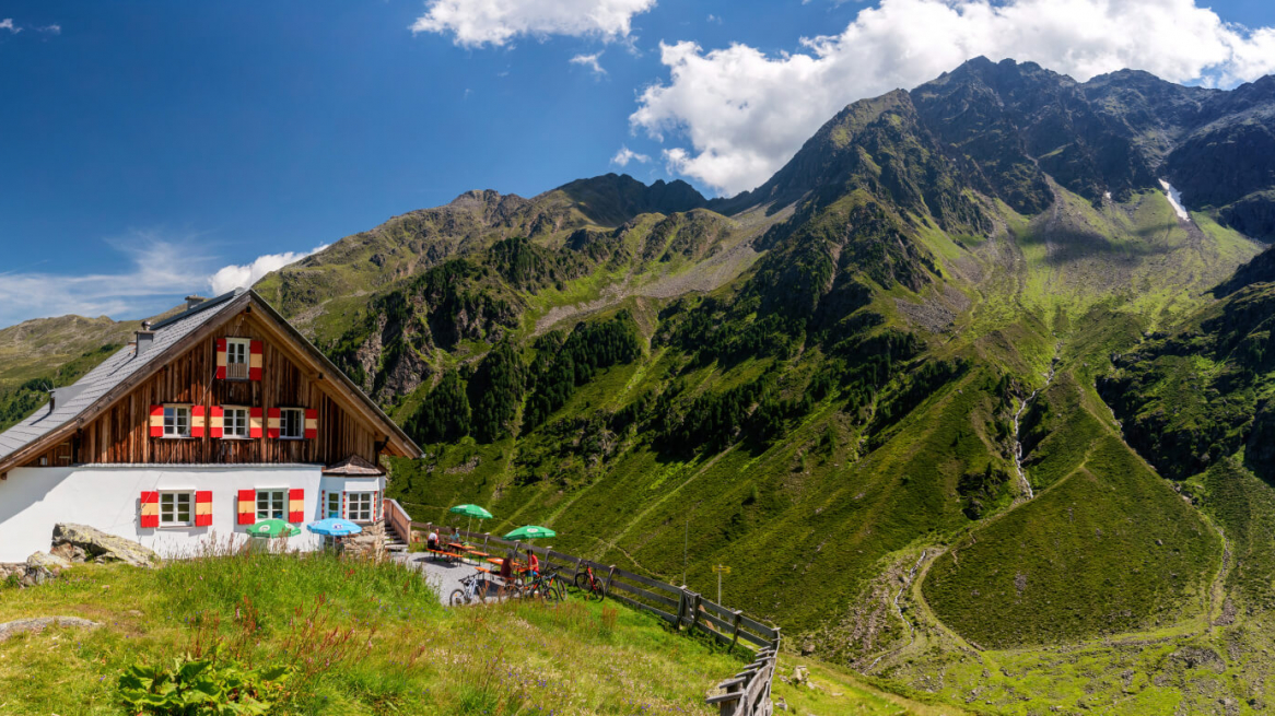
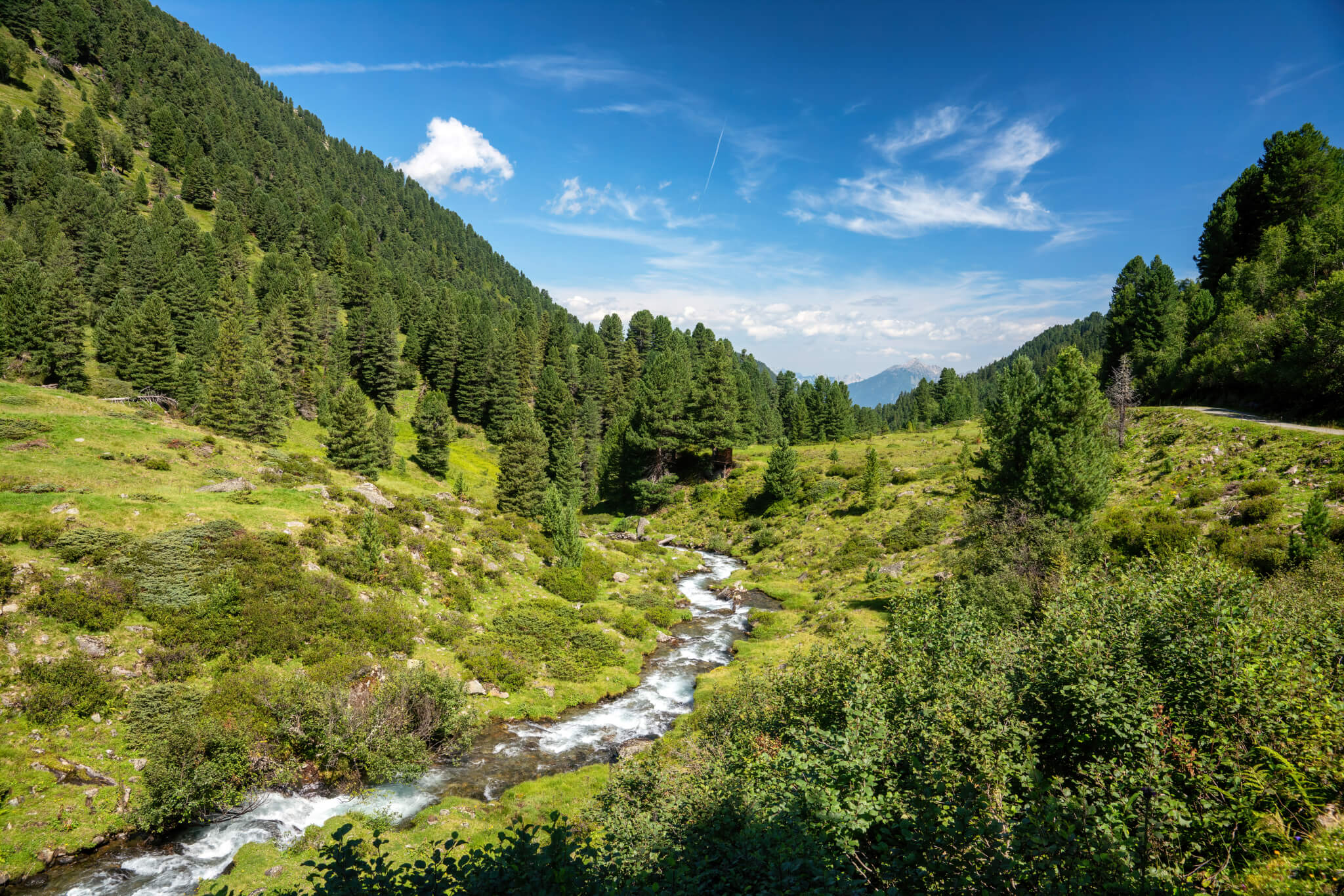
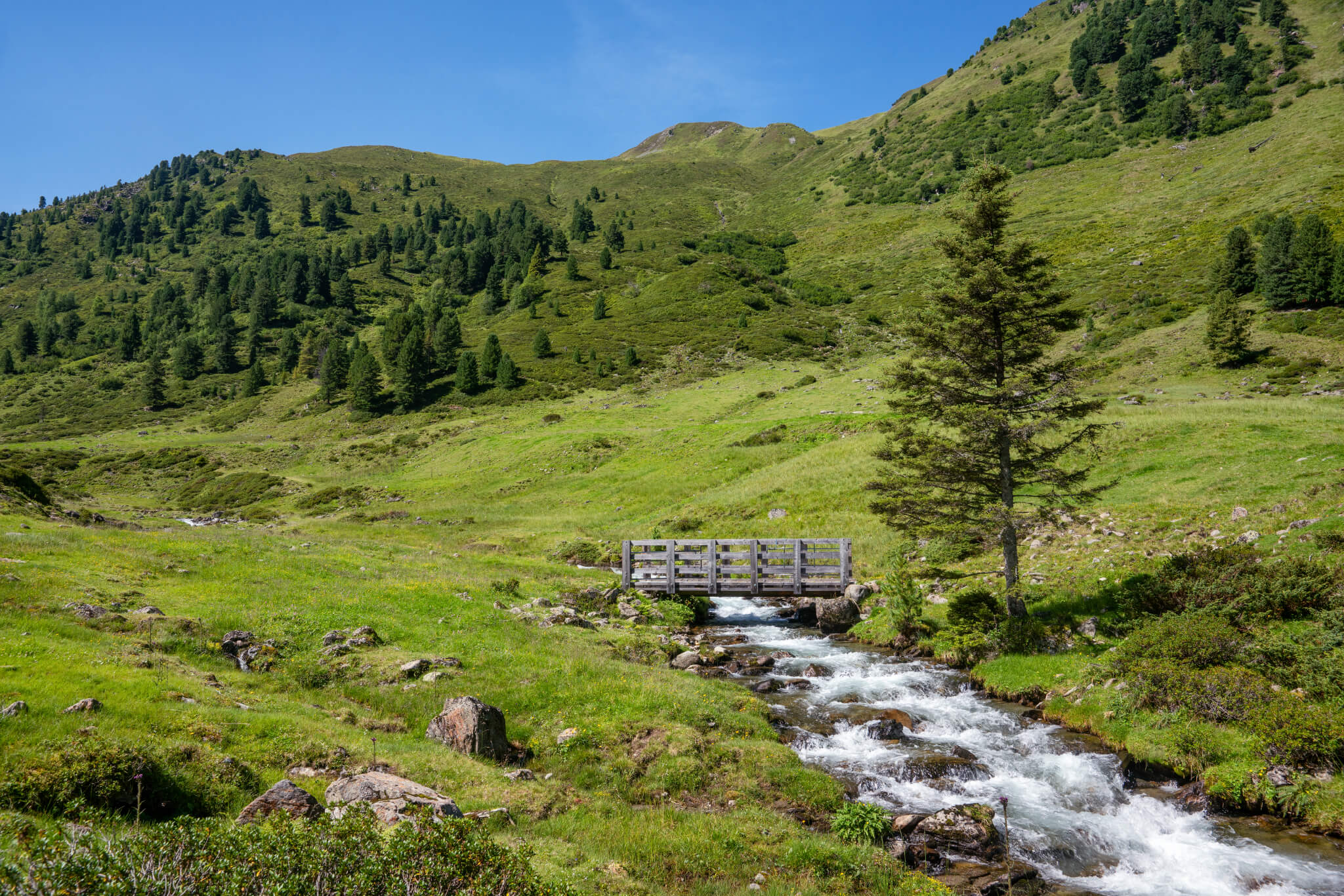
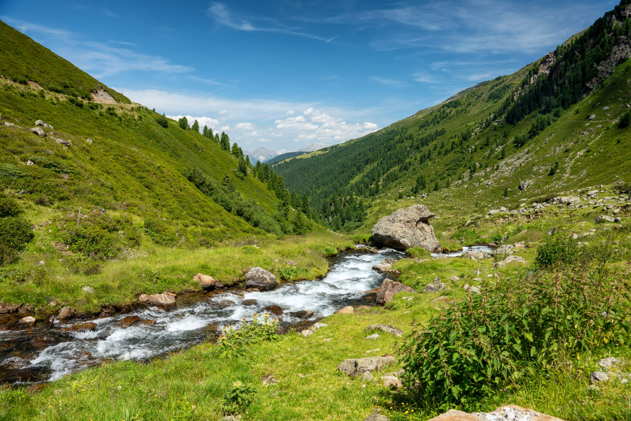
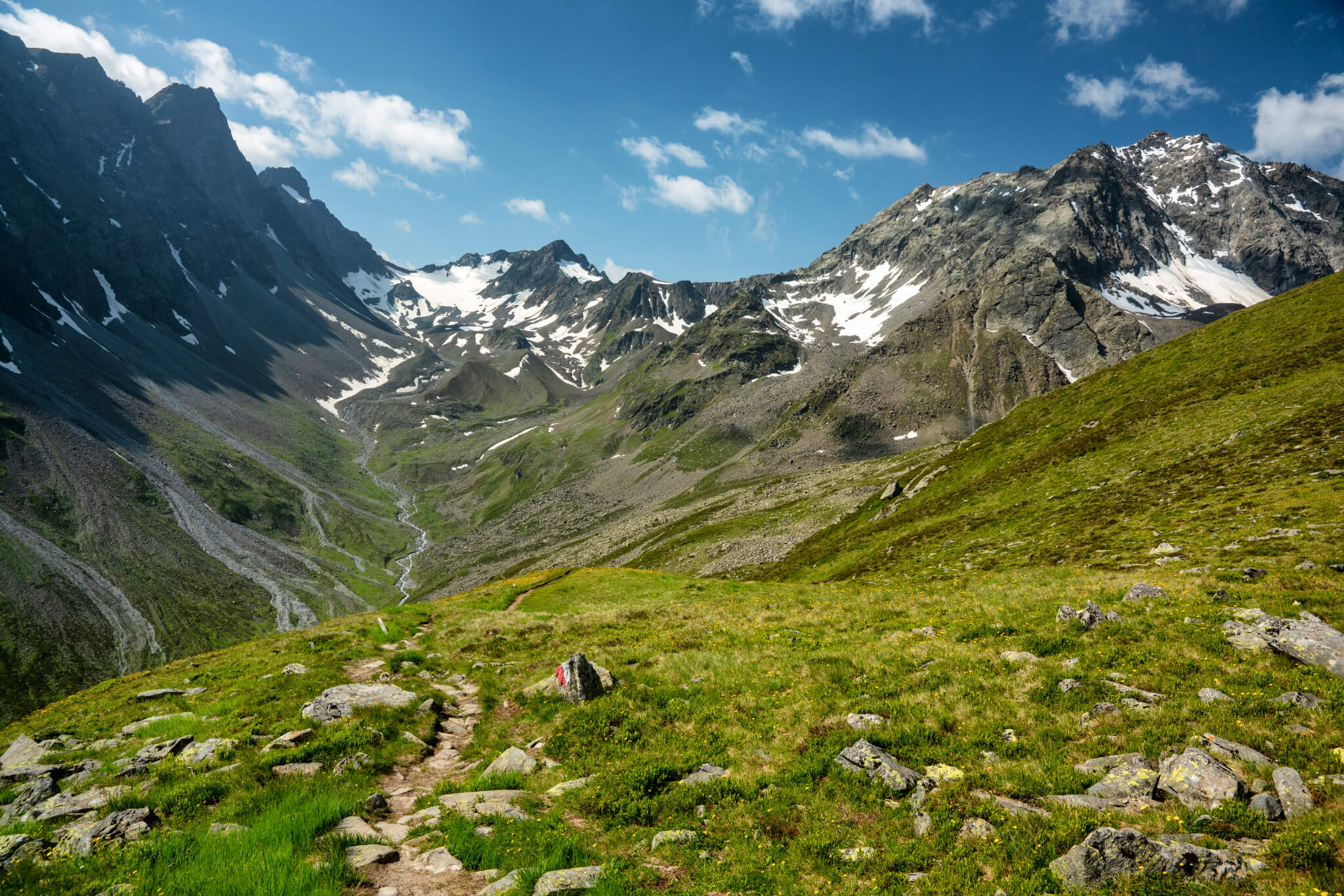
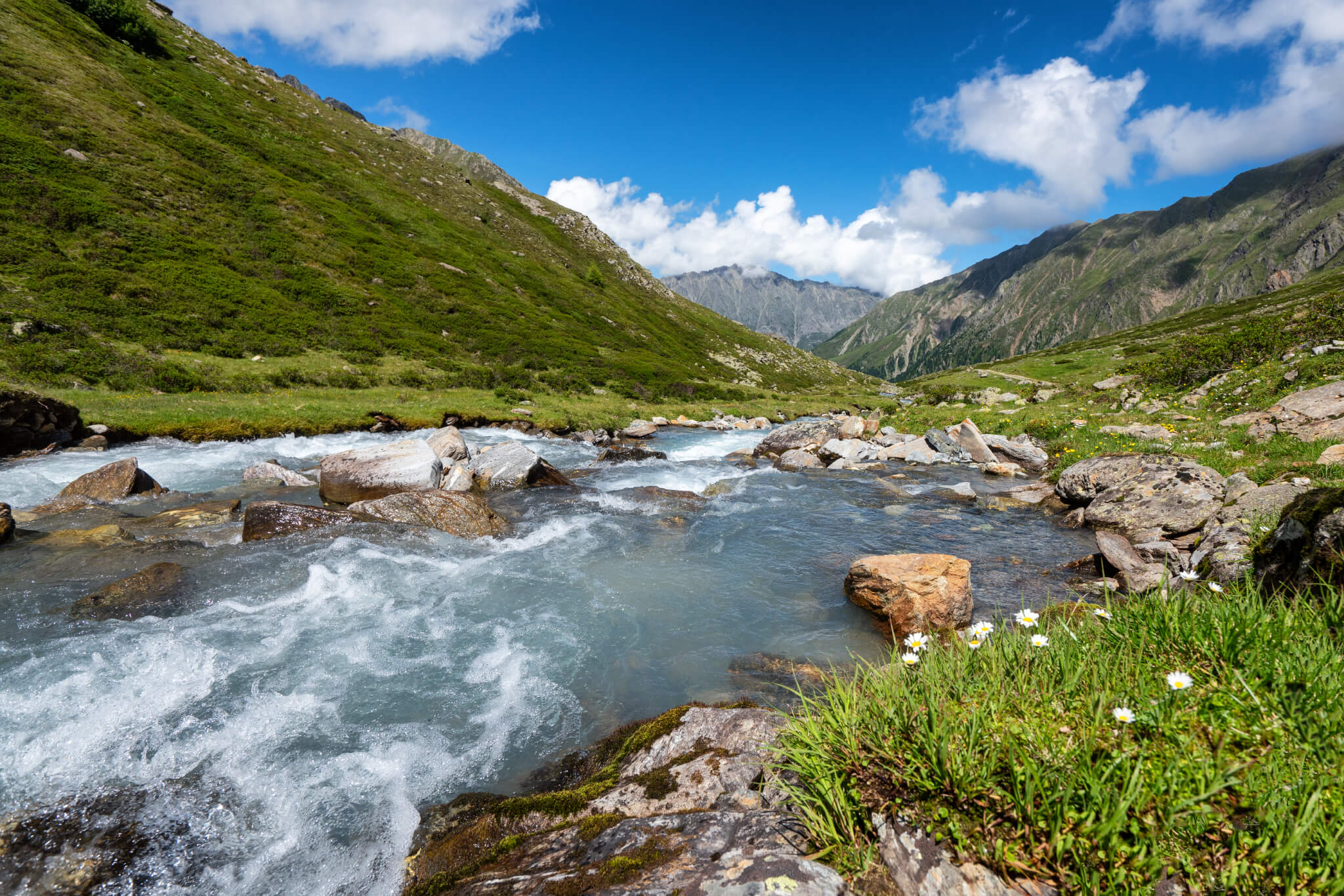
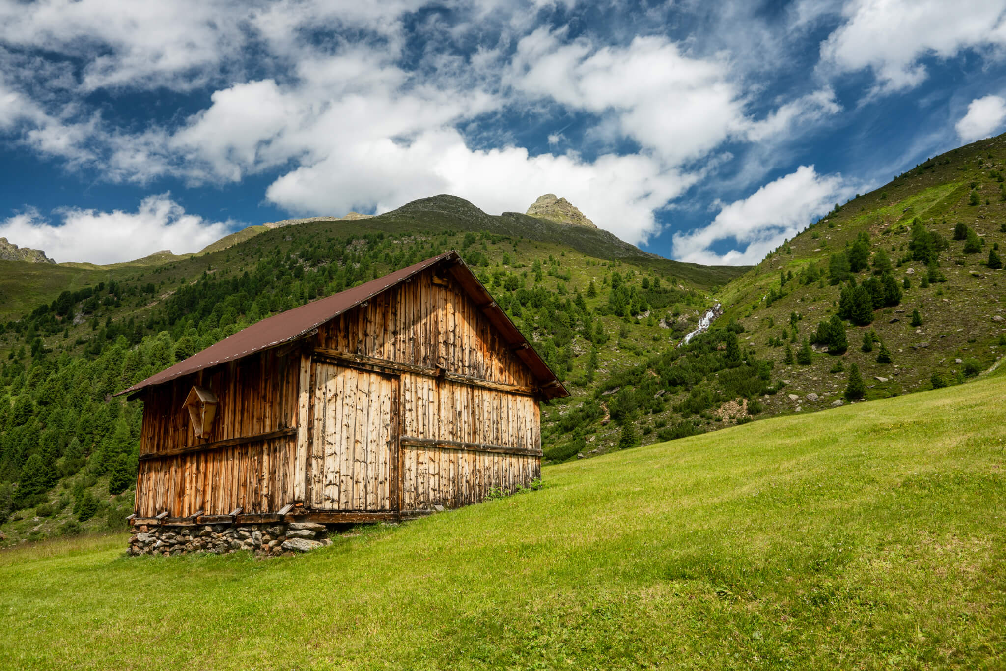
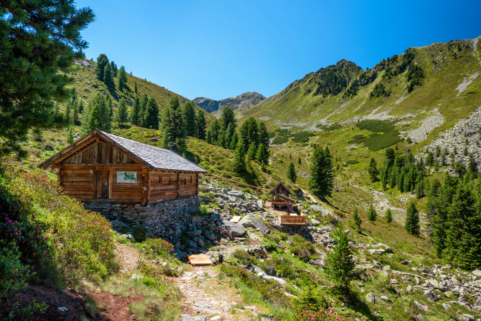
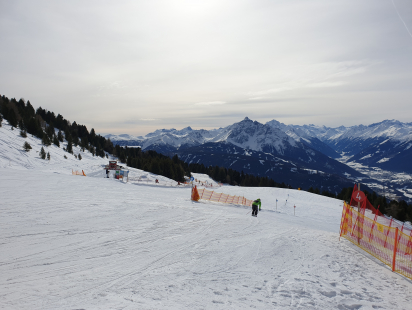
The hut circuit begins in the village centre of Sellrain. A large green sign shows the way to the Fotschertal valley. The destination is the Potsdamer Hütte, the first overnight stop. The asphalted road goes steeply uphill always along the Fotscherbach, which will accompany us steadily until shortly before the bridge. After about 20 minutes you reach the signpost towards the Potsdamer Hütte with a large information board about the hut and information about the entire hiking area. Here the asphalt road becomes a forest path and much more pleasant to walk.

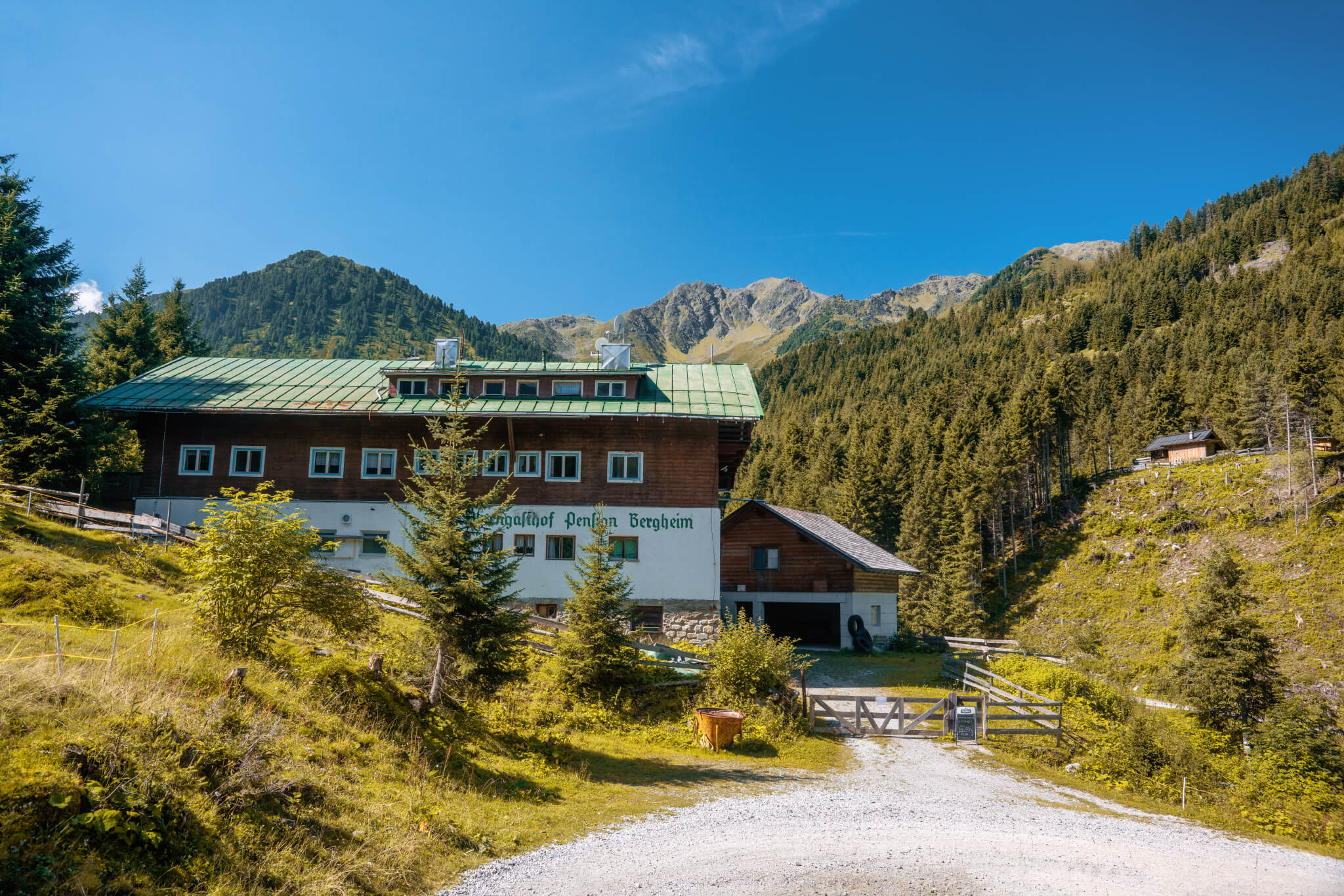
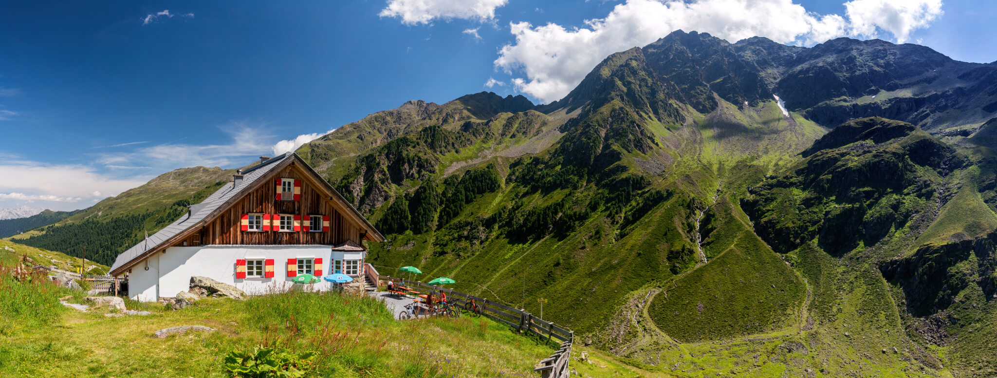
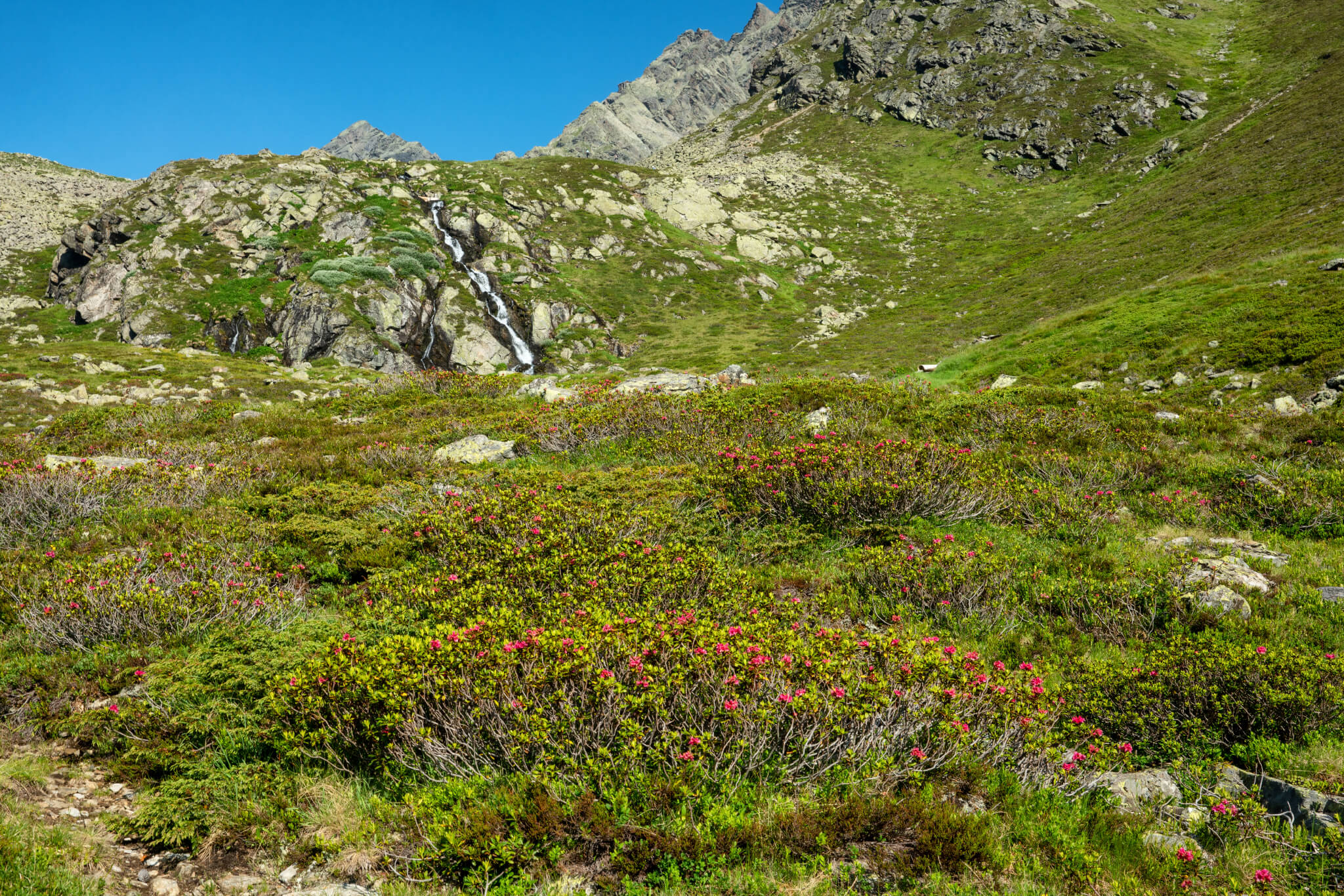
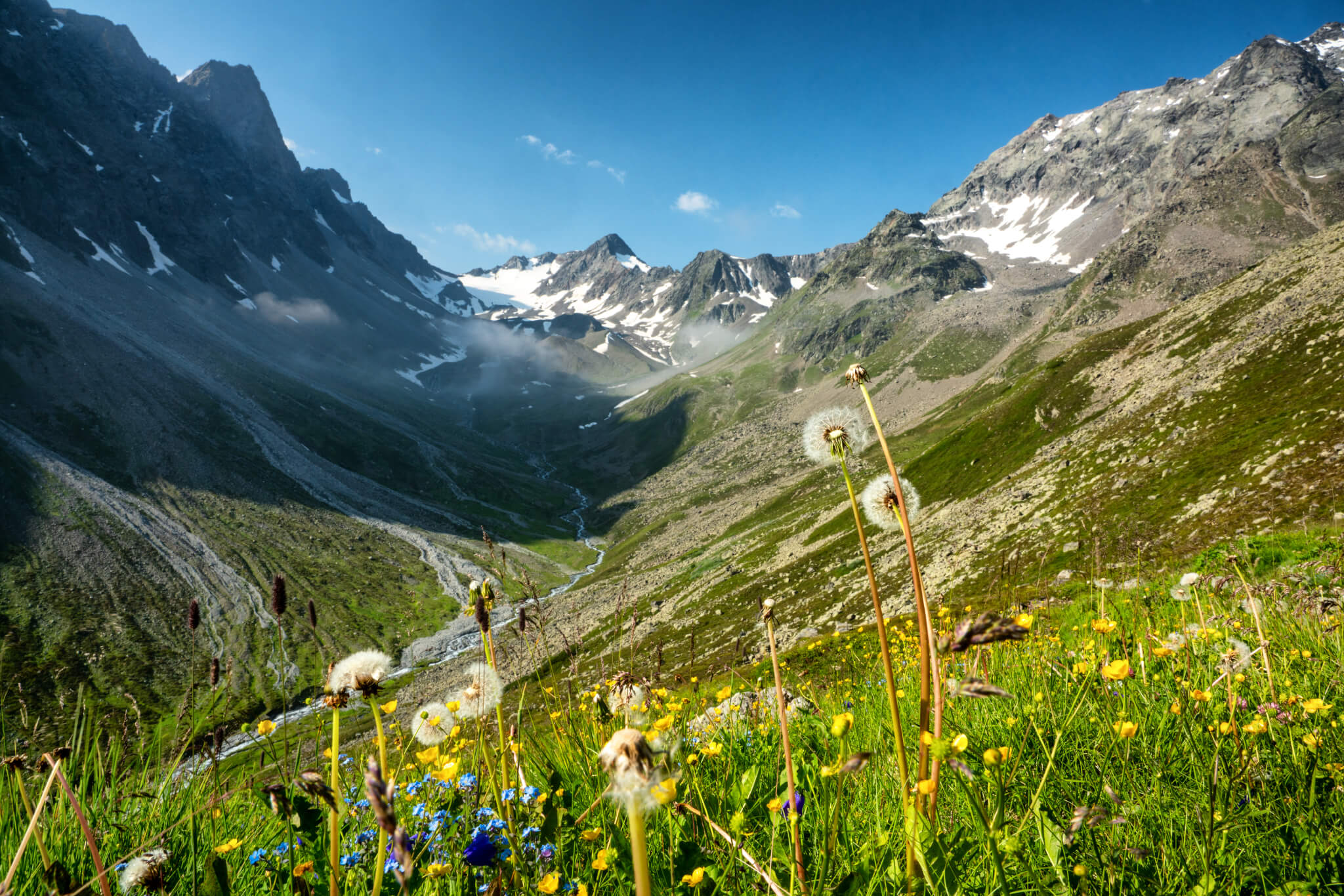
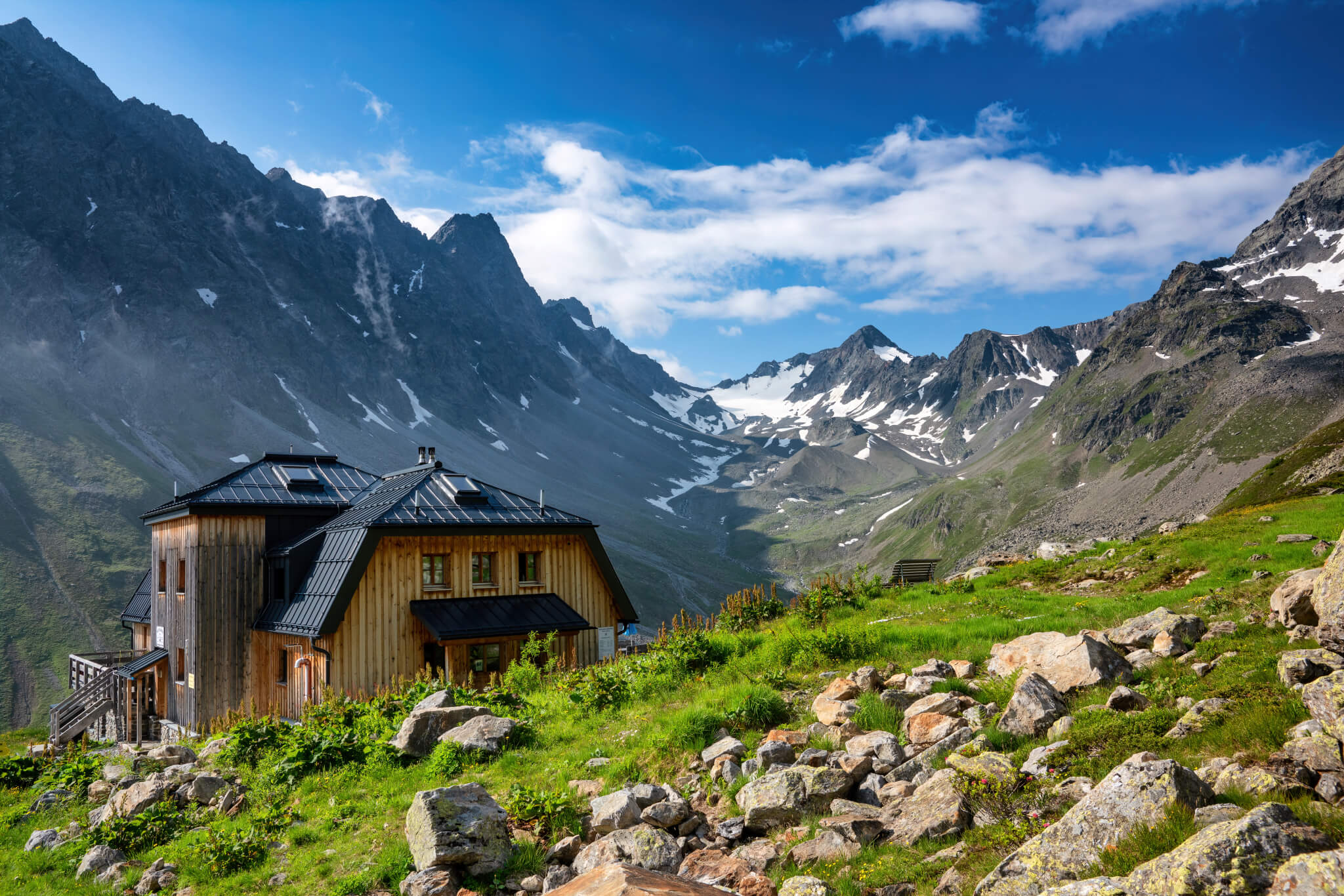
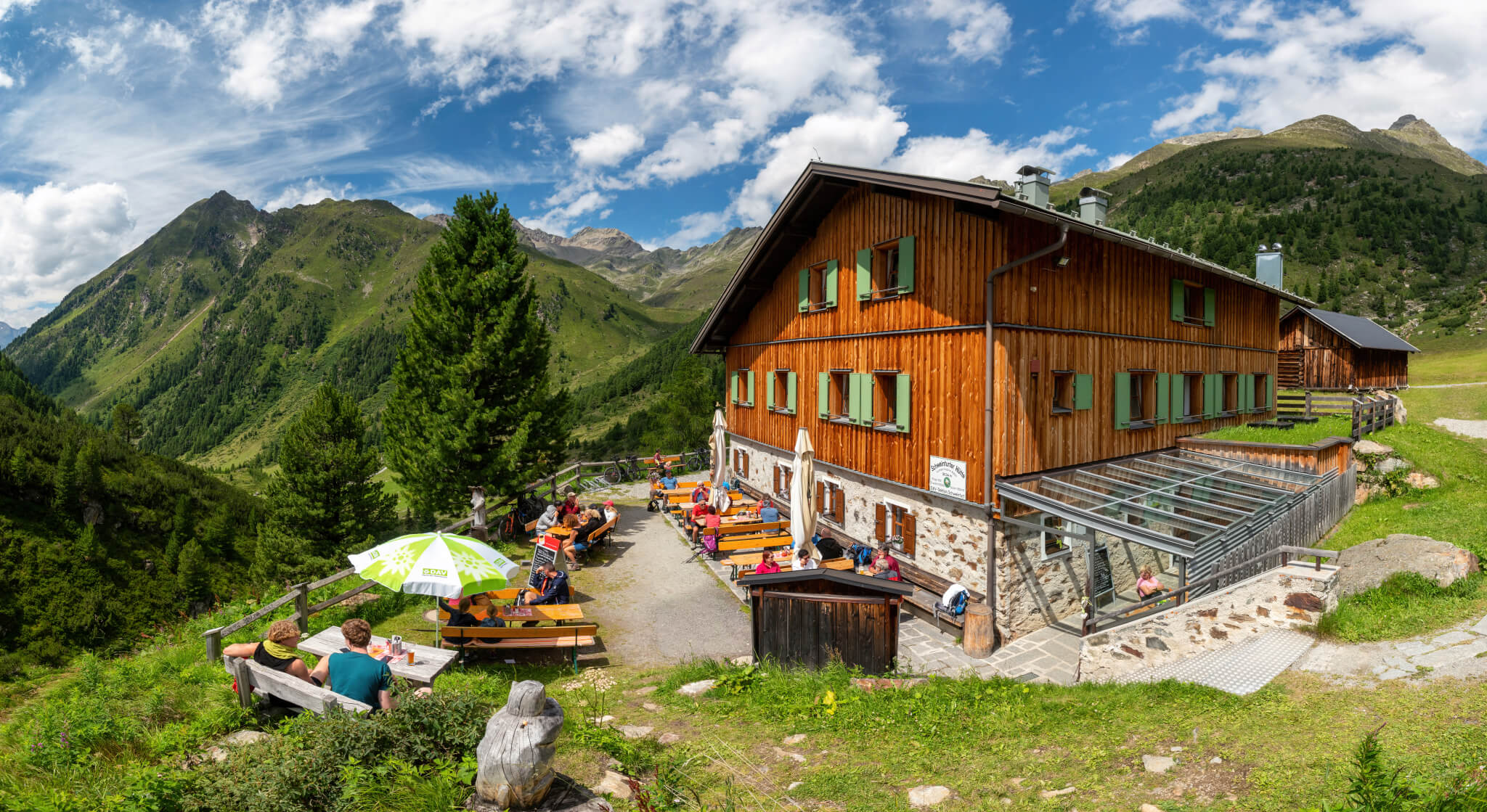
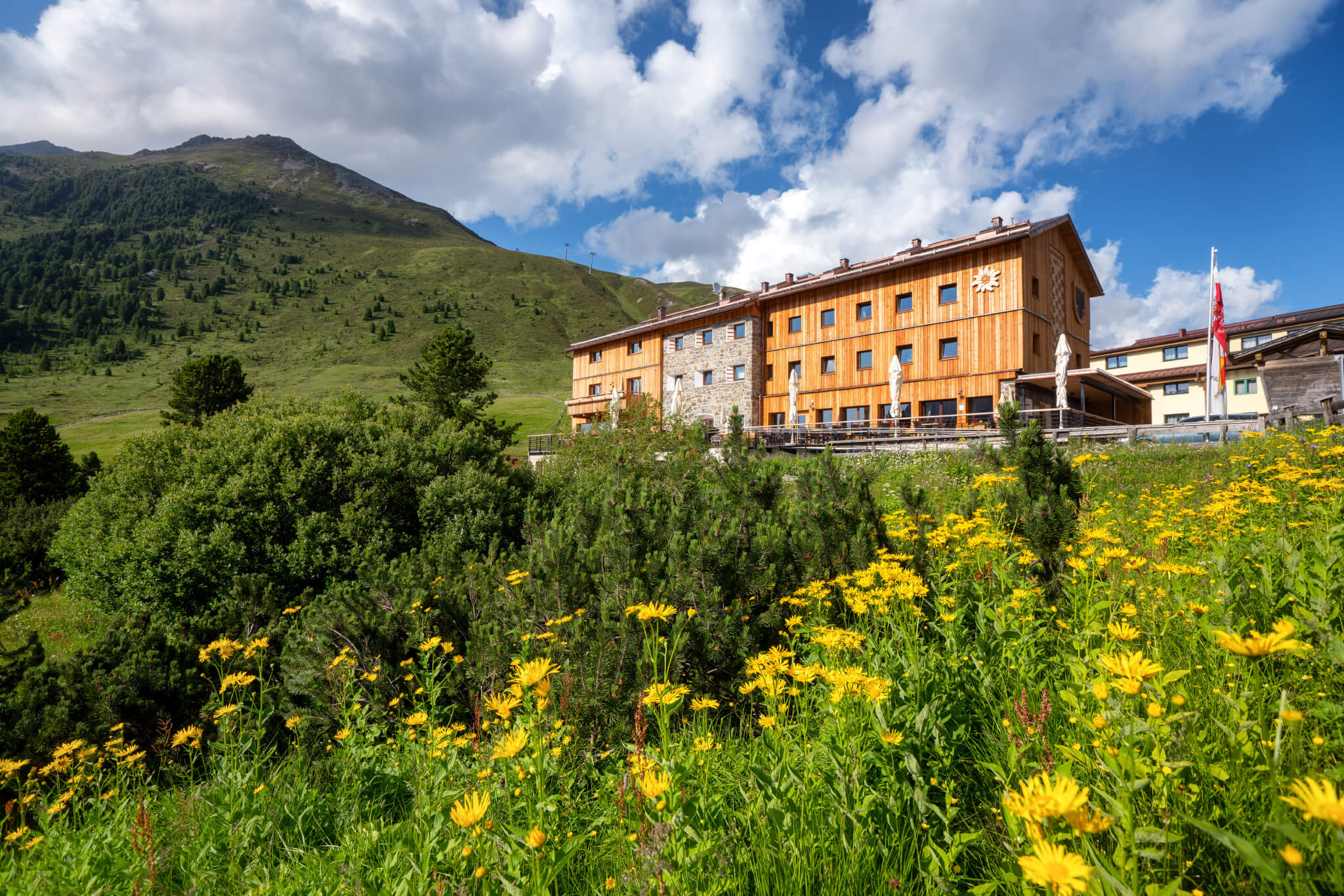
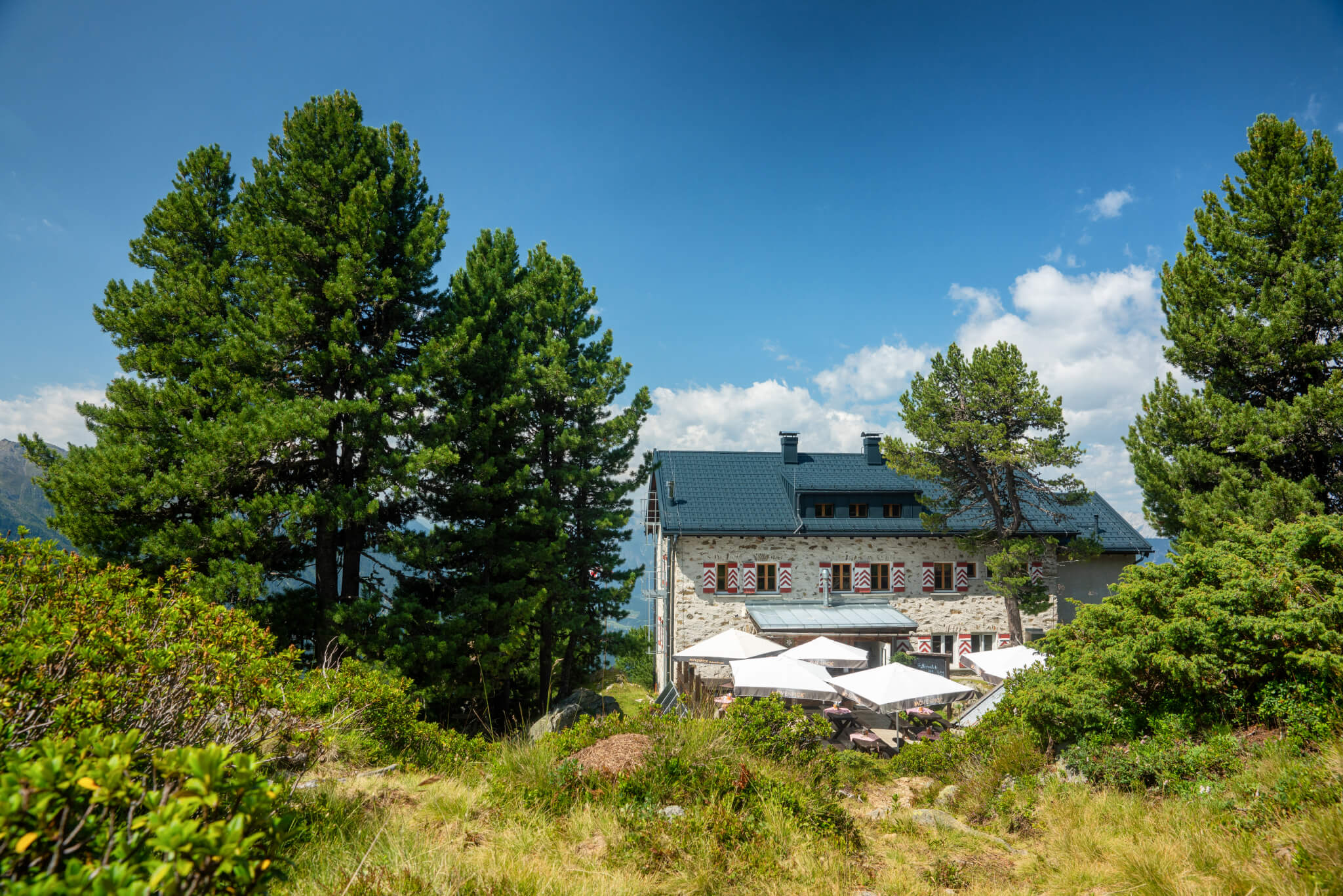
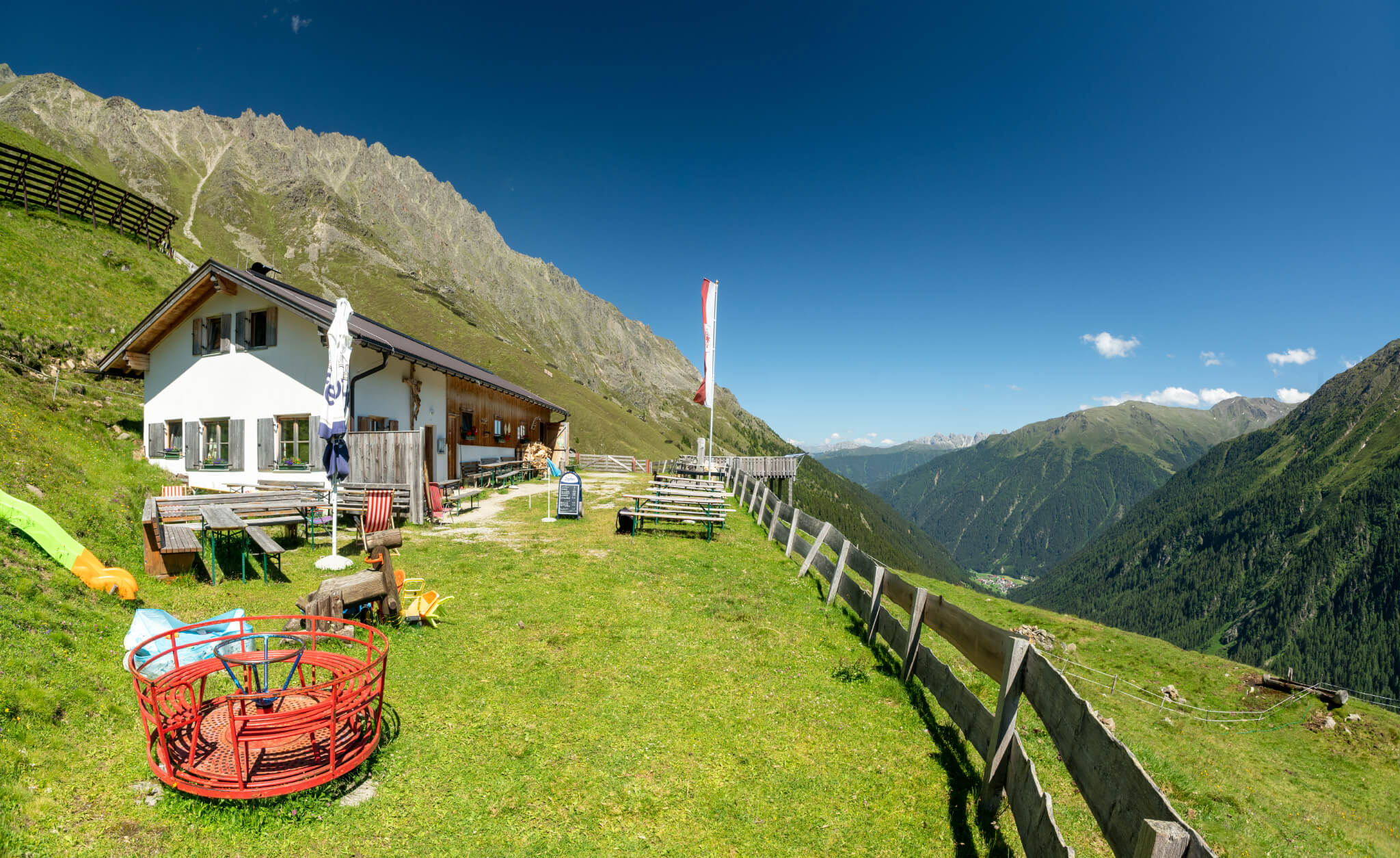
After about 1.5 hours of walking, you pass the Bergheim Fotsch and follow the signs towards the Potsdamer Hütte. The landscape slowly changes towards high alpine terrain and you soon get above the tree line. The crystal-clear Fotscherbach always accompanies us with all kinds of great photo opportunities. The path to the Potsdamer Hütte is easy and the perfect start for the long-distance hike. After 3.5 hours you reach your destination. The hut lies high above the Fotschertal valley with fantastic views of the Lüsener Villerspitze at the head of the valley.

POTSDAMER HUT

Location: 2,009 metres above sea level

Hutkeepers: Miriam and Markus Wiechert
Hut telephone number: 0043 720 316585
Mattress dormitory: 22 places
Room dormitory/beds: 16 places

Reservation online

STAGE 2: POTSDAMER HUT - ALPENGASTHOF PRAXMAR OR WESTFALENHAUS

Walking time: approx. 6h (Praxmar) / 8h (Westfalenhaus)
Altitude difference: ↑ 845 ↓ 1.200 / ↑ 1.600 ↓ 1.200

The second stage of the Sellrainer Hüttenrunde leads from the Potsdamer Hütte to the Alpengasthof Praxmar or, for the more athletic, directly to the Westfalenhaus. This stage is the transition from the Fotschertal valley to the Lüsener Gletschertal valley.

Follow the well-marked trail number 119 to the Schafalm and continue over the Rote Kogel (2873m) down to Lüsens and the Praxmar Alpine Inn. If you prefer, you can also take the high alpine variant and climb from the Potsdamer Hut up into the upper Fotschertal valley and over the Hochgrafeljoch (2,690m) via the Schönlüsenstal valley to Lüsens and Praxmar. The walking time for both variants is around six hours. If you don't want to spend the night in Praxmar, you can continue leisurely uphill for another two hours and spend the night in the Westfalenhaus. The trails are all well signposted and marked. I chose the variant with the Westfalenhaus.

Luggage transport with material cableway

After the exhausting ascent you can refresh yourself in the very clean washrooms of the Westfalenhaus. My luggage is already waiting for me at the top. I had it transported with the material cable car from Lüsener Fernerboden. To do this, you call the field telephone there in the hut and put your luggage in the material cable car. If the cable car is not there, wait about 20 minutes until it arrives from the hut. The luggage transport is chargeable, but pays off, I think! The good Kasspatzln in the Stube and the nice rooms for the night's rest complete the nice hut experience. Good night, with the hope for a not so cloudy weather the next day!

ALPINE INN PRAXMAR

1.700m above sea level

Family Melmer
+43 5236 212
info@praxmar.at

WESTFALENHAUS

2.273m above sea level

Host: Rinaldo de Biasio
+43 664 78 80 875
50 sleeping places (mattress dormitories and rooms)
Luggage transport possible by material cableway (subject to charge)

STAGE 3: WESTFALENHAUS - PFORZHEIMER HUT

Walking time: approx. 5h
Altitude difference: ↑ 780 ↓ 745

The third stage of the Sellrainer Hüttenrunde is the crossing from the Lüsener Gletschertal or Längental into the Gleirschtal and to the Pforzheimer Hütte. The weather is now much nicer than in the afternoon of the previous day and so my experience today begins with a hearty breakfast and a few photos around the Westfalenhaus.

The crossing into the Gleirschtal valley takes place via the Zischgenscharte (2,936m). On the very steep path up to the Scharte, you will pass a pre-peak, the so-called Münsterhöhe (2,508m). A short detour is recommended, as the height lies off the path. An observation bench and a summit cross with a breathtaking view of the valley head of the Längental valley reward you for the detour.

There are also a lot of marmots living in this area. Since I love photographing wildlife, I of course patiently and quietly hid to photograph one. I was successful! It is always an experience to watch the "marmots". You can also observe toads, frogs, salamanders and other animals. Just keep your eyes open.

Unfortunately, it is now visibly cloudier again, at least the mountain peaks are shrouded in fog. During the ascent to the Zischgenscharte it is now questionable whether it will be possible to take the Schöntalspitze as a summit. The Schöntalspitze is only 15 minutes walk away from the Scharte, secured by ropes over stone blocks. If possible, you should definitely stop by there during a traverse. The view from the three-thousand-metre peak is simply breathtaking! Unfortunately, I have no luck here and skip the summit, because dense fog, the short climb from the Scharte to the Schöntalspitze (3,002m) makes too dangerous. I take the direct way down into the Gleirschtal and towards the Pforzheimer Hütte. Over the glacier ridge the way down drags, however, the weather is bright again. Too bad, but that's how it is in the mountains.

Once you reach the valley floor, you have to climb another 200 metres to the Pforzheimer Hütte. There, after a hard five hours of walking, culinary delicacies and a well-deserved bike drink await you. Nothing stands in the way of a relaxed and restful evening at the hut.

PFORZHEIMER HUT

2.308 metres above sea level

Hosts: Florian Mader & Sonja Prepstl
Hut: +43 5236 521
Valley: +43 699 13 29 45 81
pforzheimerhuette@a1.net

STAGE 4: PFORZHEIMER HUT - SCHWEINFURTER HUT

Walking time: approx. 4h
Altitude difference: ↑ 440 ↓ 715

The fourth stage of the Sellrainer Hüttenrunde is also the crossing into the Ötztal to the Schweinfurter Hütte via the Gleirschjoch at 2,751 metres. It is a shorter stage and therefore something to relax. The Schweinfurter Hütte is located in the Horlachtal, a side valley of the Ötztal. The trail is quite easy and you reach the destination at 2,028 meters relatively quickly. The Schweinfurter Hütte lies at 2,028 metres.

SCHWEINFURT HUT

2.028 meters above sea level

Hosts: Carmen and Andreas Jeitner
Hut: +43 5255 - 500 29
Valley: +43 5413 - 862 51
huette@dav-schweinfurt.de
Room dormitory/beds: 16
Mattress dormitory: 36

STAGE 5: SCHWEINFURTER HUT - DORTMUNDER HUT

Walking time: approx. 5,5h
Altitude difference: ↑ 743 ↓ 828

STAGE 5A: SCHWEINFURTER HUT - BIELEFELDER HUT

Walking time: approx. 9h
Altitude difference: ↑ 880 ↓ 800

From the Schweinfurter Hütte, you now have two options. Either one goes to the Dortmunder Hütte in the Kühtai via the Finstertalscharte. Or you can take the long way via the Niederscharte to the Bielefelder Hütte. If you take the path via the Bielefelder Hütte, you extend your Sellrainer Hütte hike by one overnight stay and then continue from the Bielefelder Hütte to the Dortmunder Hütte on the following day.

The direct way to the Dortmunder Hütte leads over the Finstertalscharte, the crossing into the Kühtai. The Finstertalscharte lies at 2.777m. Arriving at the saddle, a great view of the Finstertal reservoir opens up, which of course invites you to take a break. The surrounding 3,000m peaks are mostly reflected in the calm water. Follow the path along the reservoir in the direction of the dam wall. A little tip: If you want to take a small peak with you, go over the dam wall and follow the signs "Mute". At the end of the dam wall, a short 15-20 minute climb to the wooden summit cross with a gigantic view of the reservoir.

From the dam wall, the road leads downhill into Kühtai to the Dortmunder Hütte on the outskirts of the village.

DORTMUNDER HUT

1.950 meters above sea level

Landlady: Monika Tabernig
Cottage +4352395202
info@dortmunderhuette.at

Who chooses the further way over the Bielefelder hut goes from the Schweinfurter hut over the Niederscharte (2.028m) and the Lauser (2.616m) to the Bielefelder hut. Attention this route is very long with nine hours walking time. You will spend the night in a very beautiful location at the Bielefelder Hütte (1,949m) below the Acherkogel.

STAGE 5B: BIELEFELDER HUT - DORTMUNDER HUT

Walking time: approx. 4,5h
Altitude difference: ↑ 698 ↓ 858

From the Bielefelder Hütte, you can descend via the Balbachalm (1,957m) directly to the Längental reservoir and on to the Dortmunder Hütte. This trail (Nr 148) has a walking time of about three hours. However, I recommend taking the far more beautiful, somewhat longer route via the Wetterkreuzkogel and the Wörgetal. With a walking time of 4.5 hours, it is somewhat longer, but the scenery is much more beautiful.

From the Bielefelder Hütte, the route is well signposted to the summit cross of the Wetterkreuzkogel, which is already visible from the hut. The path leads steeply up in serpentines, so you quickly reach the summit at 2,591 metres. From the summit, follow the ridge to the Wörgegratspitze and from there descend into the picturesque Wörgetal valley. In June you will find a sea of alpine roses and the very photogenic Pochersee. At the Pochersee (2,002m), a miners' hut has been erected, including the Pocherwerk, with a wealth of information and a small mining museum to remind you of the mining activities in the Wörgetal. The route continues in the direction of the Längentaler reservoir and from there briefly up to the destination, the Dortmunder Hütte.

STAGE 6: DORTMUNDER HUT - SELLRAIN

Walking time: approx. 9h
Altitude difference: ↑ 560 ↓ 1.600

The last stage is once again quite long, but also beautiful. From the Dortmunder Hütte, the route takes you along the Sellrainer Höhenweg trail, first via the Zirmbachalm (1,792m) and on to the Sonnbergalm (1,950m). Here you either continue on the high trail to Sellrain. Or you descend via the Wunderwanderweg to Sankt Sigmund to the end of the hut circuit and take the bus to Sellrain. Alternatively, you can save yourself the last stage and take the bus directly from Kühtai to Sellrain. For all those who are still strong, I recommend: hike the high-altitude trail to the end, it is so beautiful!

MY CONCLUSION OF THE SELLRAINER HUT CIRCUIT

My conclusion after seven great days in high alpine terrain: Far away from stress and noise I could experience wonderful nature moments and decelerate. All huts on the tour offer the best food and very clean, well-kept sleeping facilities. The nice thing about the hut tour is that you always have alternative routes to the next destination or you can shorten the whole hut round. An exit, for example in case of exhaustion, is possible at any time by descending through the side valleys of the Sellrain valley.

Tips for the way:

  • Please always ask the hut host about the weather before each stage and also follow his advice. The weather can change very quickly in the high alpine area. Pay attention especially in high summer to the danger of thunderstorms and if necessary refrain from taking risks, as I did on the Schöntalspitze, which I was really looking forward to. It is simply too dangerous. Respect nature and wildlife. Please walk only on the paths and not across the landscape.
  • Also watch out for adders, I could see two right along the trail. So stay mindful with every step.
  • Additional tip at Corona times: The 3G rule and common hygiene measures apply at the huts.

I can only recommend to take the time for the Sellrainer Hüttenrunde. It is a very special experience, only 20 minutes away from the city, yet far enough to really take a deep breath.

Summary on innsbruck.info

All photos © Danijel Jovanovic Photography - www.djphotography.at
Instagram: @danijeljovanovicphotography
Facebook: Danijel Jovanovic Photography

Similar articles